TRIP 5 Sonoma Valley Regional Park
| Distance | 2.6 miles, Loop | |
| Hiking Time | 1 to 2 hours | |
| Difficulty | Easy | |
| Trail Use | Leashed dogs, Good for kids | |
| Best Times | All year | |
| Agency | SCRPD | |
| Recommended Map | None |
HIGHLIGHTS This small park is big on rewards: a fine picnic area shaded by oaks, a surprisingly varied loop trail that runs through a streamside corridor and then climbs a forested ridge to a high point with great views, and a 1-acre dog-exercise enclosure. For a full-day outing, combine a hike here with a visit to any of the nearby state parks: Jack London, Sugarloaf Ridge, or Annadel.
DIRECTIONS From Highway 12 northbound in Sonoma, use the junction of Broadway and Napa St., on the south side of the Plaza, as the 0.0-mile point. Follow Highway 12 west and then northwest for a total of 6.6 miles to the park entrance, left.
From Highway 12 southbound, south of Kenwood, use the junction with Arnold Dr. as the 0.0-mile point. Continue 0.4 mile to the park entrance, right, and go 0.2 mile to a paved parking area with a self-registration station, then follow the directions above.
FACILITIES/TRAILHEAD There are picnic tables, water, and a toilet near the trailhead, which is on the south end of the parking area, at a metal gate.
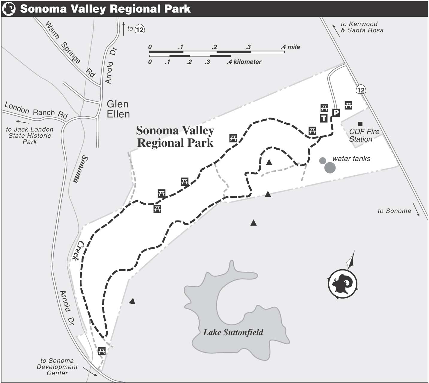
A paved multi-use path leaves the parking area and wanders through a large, open field graced here and there with a few venerable native oaks and some planted trees. After about 150 feet, you pass a gravel road leading uphill to two large water tanks. The path curves to a junction with a dirt-and-gravel road, left, that you will use on the return part of this loop. You continue on the paved path, which descends gently past several oak-shaded picnic tables and then finds a mostly level course.
Entering a savanna of mostly blue oak, you follow a seasonal creek that crisscrosses under the trail through culverts. Soon a hiking-only trail departs left, and then an unsigned single track rises right. Several more trails take off left and uphill: ignore them all. Soon a dirt path joins from the right, and then your path bends left. Sonoma Mountain, a high, forested ridge that forms the backbone of Jack London State Historic Park, rises to the southwest.
At a junction where the paved path continues straight, you turn left onto a single-track trail that heads uphill. After about 75 feet you come to a fork, marked by a trail post, where you bear left onto a rocky track that climbs across a steep hillside. Curving right, the trail approaches the crest of a hill, the top of which is on private land, behind a barbed-wire fence. A path, right, goes through a gap in the fence, but you continue straight, soon dropping steeply over rough ground.
The Trees of Sonoma County
Joining the blue oak in this park are black oak, valley oak, California buckeye, California bay, and manzanita. Oregon ash, a tree that turns brilliant yellow in fall, grows from the creek bed. You’ll also find madrone, which invites comparison with its smaller cousin, manzanita. Madrone has orange bark and large, shiny green leaves, whereas manzanita has burgundy bark and small, pointed leaves that range from gray to dark green.
Many of the oaks and other trees and shrubs in this park are draped with beautiful strands of lace lichen, which resembles the Spanish moss of the Southern U.S.
Now a level traverse across a steep hillside brings you to a junction, where a trail goes downhill and left. Soon the hiking-only trail you passed earlier joins from the left, and now your route runs along the top of a ridge and then crosses to its left side. Ignore the trails going right at the next two junctions, and instead follow your trail as it bends sharply left, then jogs back to the right. With the two water tanks near the parking area in view, you come to a four-way junction, where you turn left.
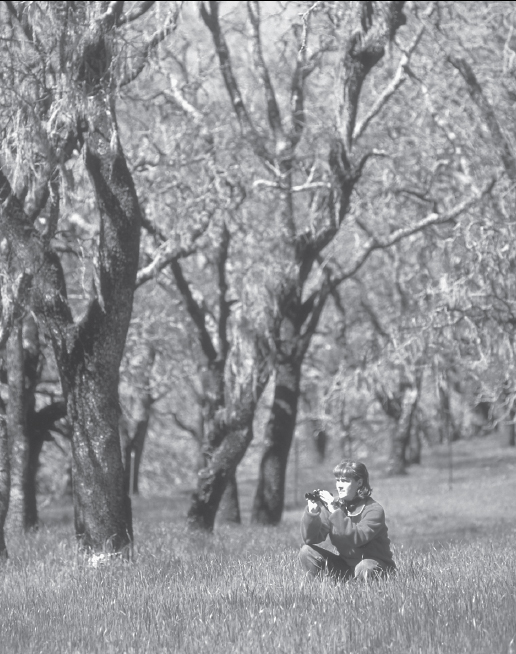
Early spring is a good time to spot birds at Sonoma Valley Regional Park.
Now out in the open, the trail passes near the top of a hill, where a short path leads to a rest bench and a vantage point with fine views. Past this spur, the main trail widens as it descends steeply over a bed of loose rock and gravel. Reaching a T-junction with a dirt road, you turn left. Then, after about 75 feet, you merge with a dirt-and-gravel road and bear left. Ahead is the paved path you used at the start of this loop. Bear right on it and retrace your route to the parking area.