TRIP 7 Jepson Prairie Preserve
| Distance | 0.7 miles, Loop | |
| Hiking Time | 1 hour or less | |
| Difficulty | Easy | |
| Trail Use | Good for kids | |
| Best Times | Spring | |
| Agency | SLT/UCNRS | |
| Recommended Map | None |
HIGHLIGHTS This easy, self-guiding loop takes you through what preserve authorities describe as “the best remaining, unspoiled stand of native bunchgrass prairie in the Central Valley.” Along the way, you’ll learn why the Nature Conservancy thought this seemingly empty stretch of ground, actually teeming with life, was important enough to buy and protect. If you visit in spring, you’ll be rewarded with colorful displays of wildflowers. On weekends from mid-March through Mother’s Day, there are guided tours of the preserve at 11 A.M. For more information, call Solano Land Trust (707) 432-0150 or visit www.solanolandtrust.org. Boldface numbers in the route description refer to numbered markers along the trail, which are keyed to the Jepson Prairie Self Guided Nature Trail brochure. Parts of this brochure are summarized in the description, below.
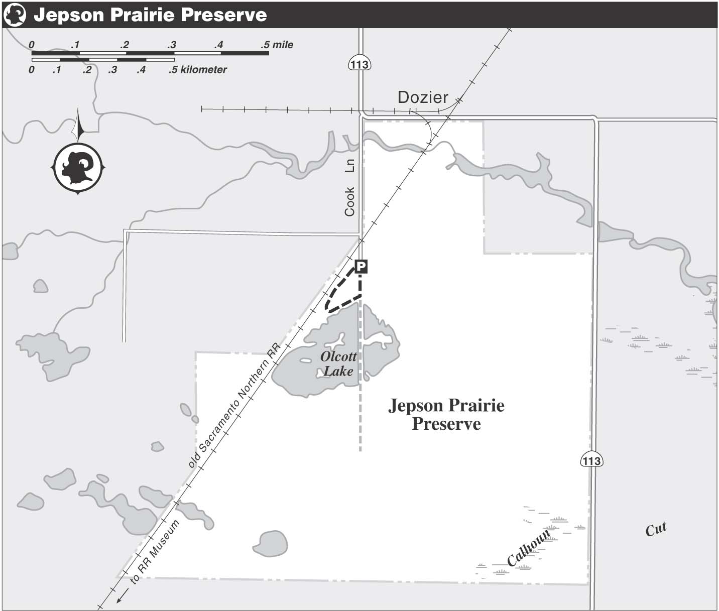
DIRECTIONS From the intersection of Highway 12 and Highway 113, east of Fairfield, take Highway 113 north, then west, 8.2 miles to Cook Lane. Turn left and go 0.7 mile to a parking area, left.
FACILITIES/TRAILHEAD There are picnic tables and a toilet beside the parking area. The trailhead is on the west side of Cook Lane, across from the parking area.
From the trailhead, you follow a path through the grass to marker 1. Jepson Prairie contains a variety of habitats, including sloughs, playas, vernal pools, swales, and grassland. With Olcott Lake, a large playa lake, or undrained basin, ahead, you soon reach marker 2. Unlike in nearby farmlands, early settlers found the sand and clay soils here were unsuited for agriculture, and this helped spare the area from development.
Marker 3 is for the adaptation of local plants and animals to the Bay Area’s Mediterranean climate — dry in summer, wet in winter. The bumps in the landscape seen from marker 4 are called “mima-mounds,” and explanations for them range from temperature changes, to wind erosion, to burrowing animals, to earthquakes. You pass through a swale, a water-trapping depression underlain by clay, to marker 5.
Now the path approaches a tall power line tower used as a perch by birds. The annoying sounds come from a nearby go-cart course. Most nonnative plants, marker 6, can’t grow in swales or vernal pools, yet they are widespread on the higher ground of the preserve. Most of these, such as wild oats and thistles, came from Europe back when California was a colony of Spain and then Mexico. Fencing, grazing, planting, and development, signs of which are evident from marker 7, all took their toll on California’s most fragile habitats, such as vernal pools, grasslands, and marsh lands.
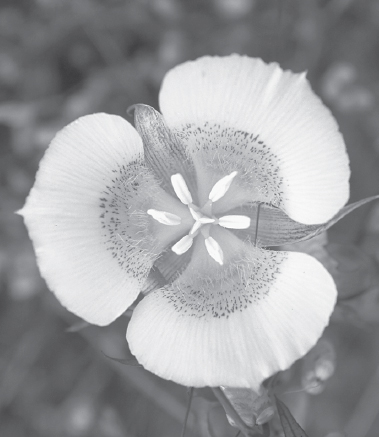
Yellow Mariposa lilies are among the many wildflowers found at the Jepson Prairie Preserve.
You bear right at a fork to marker 8, for the Native Americans who used this area to hunt, fish, and gather seeds and building materials. Purple needle grass, a native bunchgrass that benefits from fire, is near marker 9. The Native Americans are thought to have used fire to keep land open and stimulate preferred species, and modern land managers often do the same. Mt. Diablo, about 30 miles south, is visible from marker 10.
As the waters of rain-filled Olcott Lake, marker 11, recede, a variety of colorful wildflowers flourish and bloom around its shore. These include meadowfoam, popcorn flower, goldfields, and downingia. Grassland wildflowers here include brodiaeas, white hyacinths, and Mariposa lilies. Marker 12 is for the rare plants and animals, such as the Delta green ground beetle, that caused the Nature Conservancy to purchase Jepson Prairie in 1980.
You go straight at a four-way junction beside the lake. The linkage between upland and wetland, marker 13, is illustrated by the tiger salamander, which breeds and is born in Olcott Lake, but lives most of its life in grassland. Several species of shrimp, marker 14, live in the lake, and the cysts they lay survive the dry summer. Among the birds that rest and feed here during migration, marker 15, are geese, ducks, and shorebirds. Herons and egrets circle the lakeshore, and raptors patrol the skies. When you reach Cook Lane, turn left and go about 100 yards to the parking area.