River
In the early days I most liked wandering about and drawing the river and the views across it. Back then the Thames was still a romantic, industrial place of cranes, derricks, lighters and docks. There were only a few really tall buildings sticking up: Big Ben, the Shot Tower, St Paul’s, Tower Bridge, the power stations. Even in the sixties, immense lock-gates still opened to let ocean-going liners into the deep-water docks on the Isle of Dogs, and big ships were still docking upstream in the old Pool of London as far west as London Bridge. But already the skyline seen from the embankment was changing; its offshore structures had vanished and the people in the riverside pubs were office workers instead of dockers. Today the older towers are dwarfed by even bigger ones, and much of the riverside beyond Vauxhall is being damaged by glossy developments that use up the best riverside sites. But even if the cranes and the old romantic-looking warehouses that had survived the Blitz have vanished, the stretch from Tower Bridge to Westminster is still beautiful, and the river still irresistible to draw, with its sparkle and menace; its beauty, contrasts and indestructible vastness; its constant tidal ebb and flow; its occasional accessible beaches of imported sand and its riverbed of old bricks, rubbish and mud. The river is London’s oldest asset, and it is also perhaps the single London feature that seems indestructible.
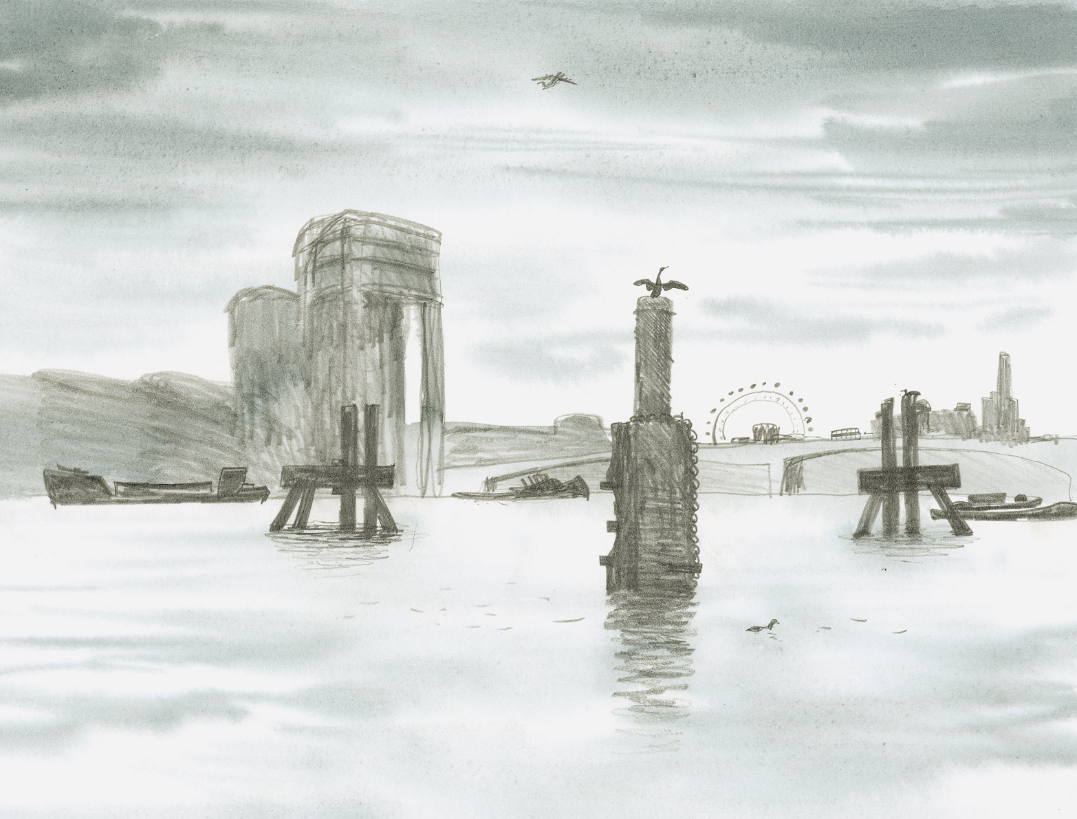
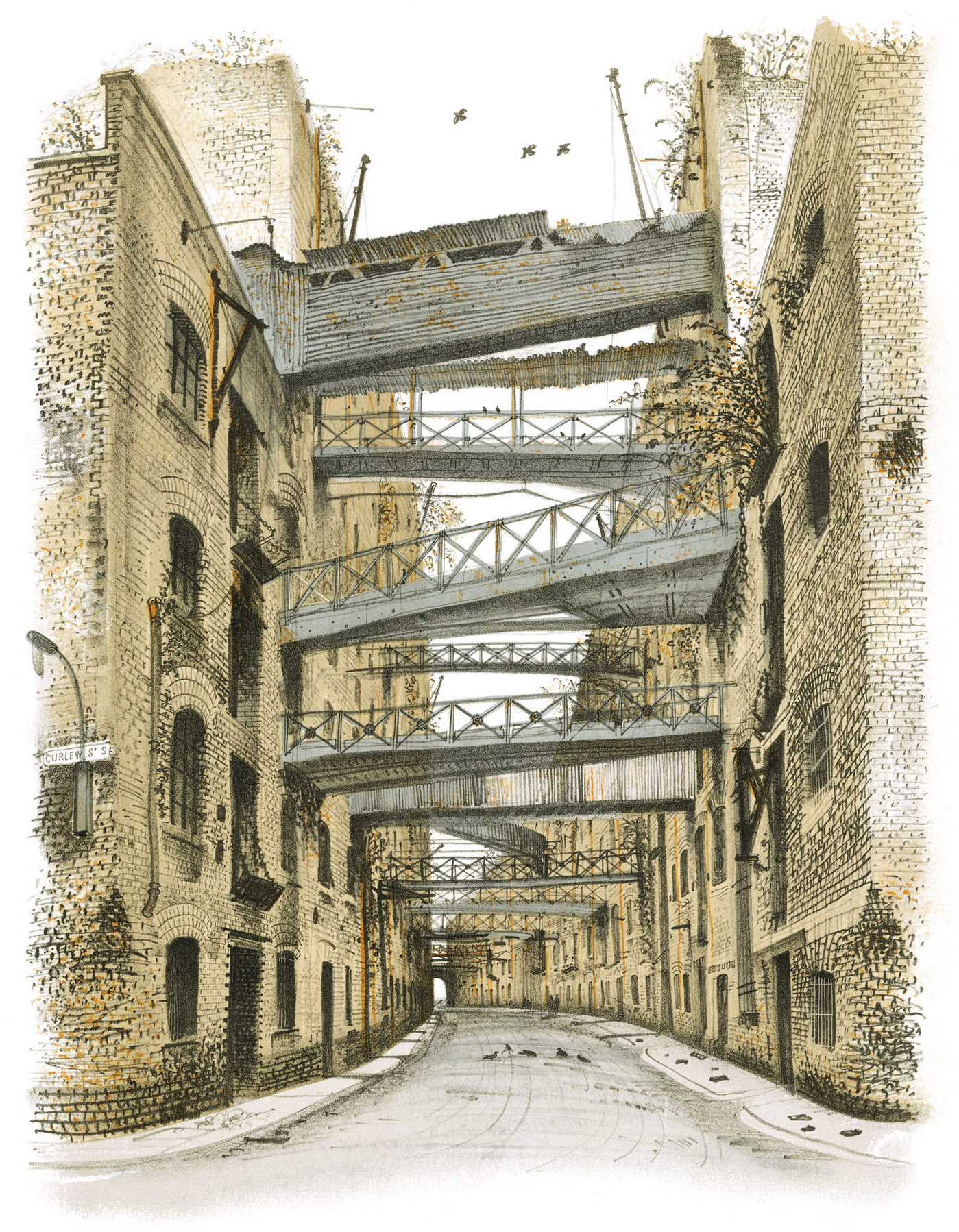
Distant views of the heart of London are the river’s greatest offering. The sketch below was made from the Oxo Tower wharf at low tide when the high-rise City was just being built.
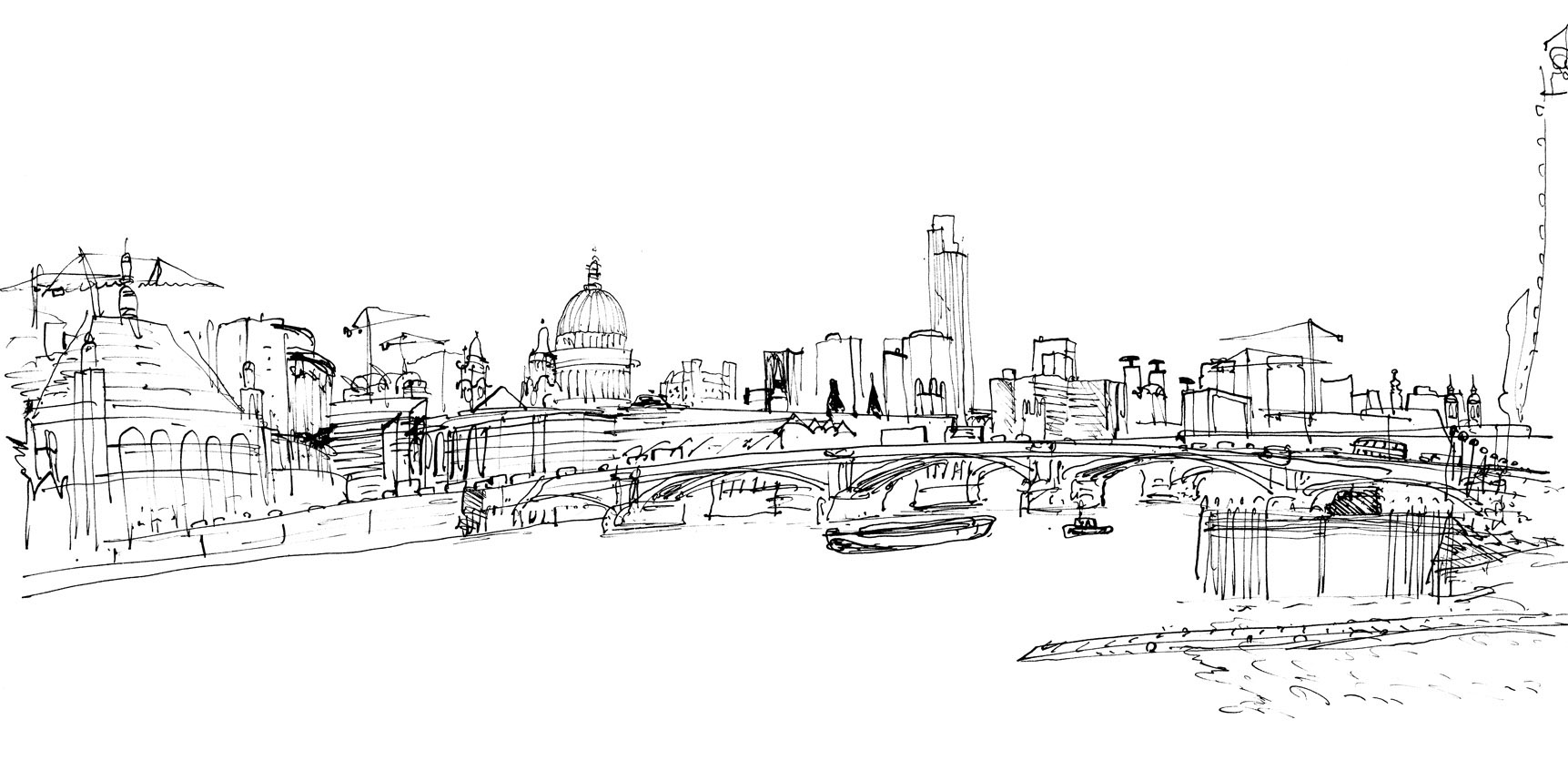


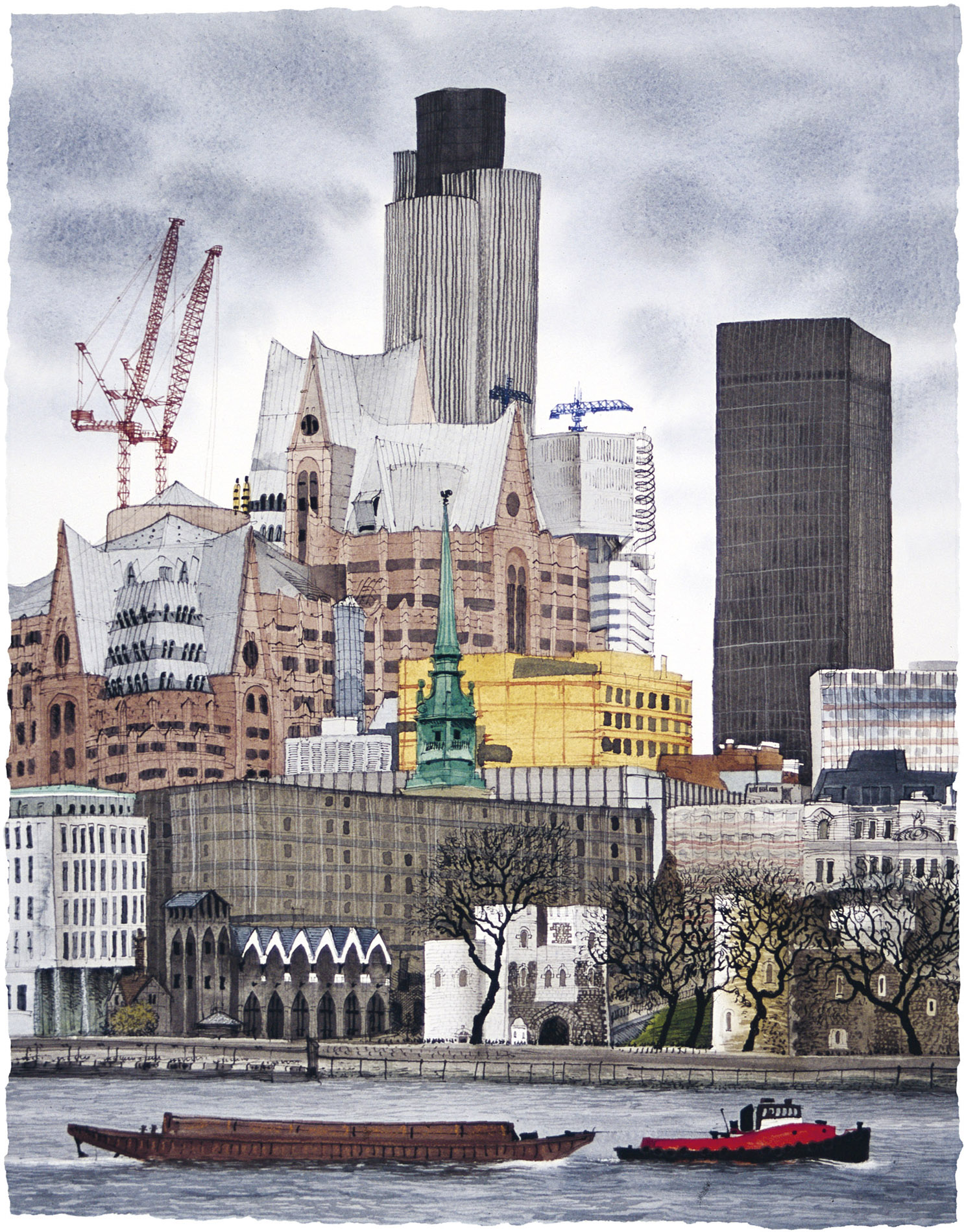
There are still several sets of steps down to the shore of the Thames; these (below) are from Custom House Quay. I made this pen and watercolour drawing from the bottom of the steps at the far end of Custom House Quay and finished it as my feet got wet.

This black-and-white lithograph of Canary Wharf being built was commissioned for a building magazine based nearby. I’d never seen so many cranes at once. I used to take the Docklands Light Railway with our young son, explore the transformation under way, get something to eat at the Island Gardens and then walk through the Greenwich foot tunnel under the Thames to Greenwich and the Cutty Sark and look back at London from the Royal Observatory.
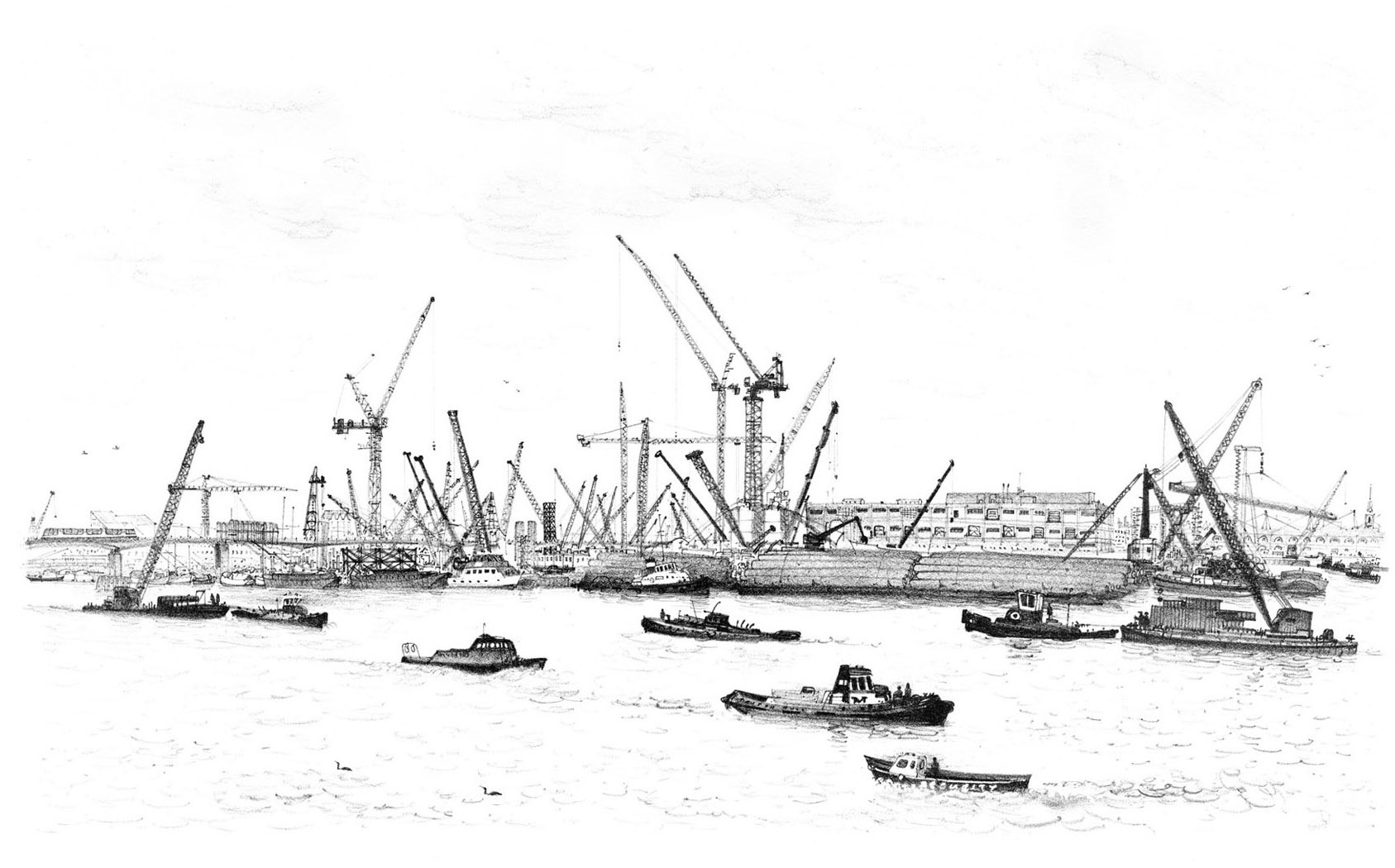


Some of the lovely distant views across and up and down the river, even from somewhere as famous as Westminster Bridge or Chelsea Bridge, have been obscured by eye-catching newcomers. Now, the view straight across the river towards Nine Elms from Crown Reach just upstream from Vauxhall Bridge is dominated by a row of the ugliest tall flats in London.
I drew the City from the top of the Shard two days after it opened, with the half-built Walkie-Talkie still rising in the middle, toy-like boats in the Thames and tiny trains snaking about at my feet. From up here the City suddenly seemed both model and muddle – a crowded hotch-potch in which its once-familiar landmarks were already becoming hidden treasures.

