13 Appistoki Falls
Type of hike: Out-and-back
Total distance: 1.2 miles (1.9 km) round-trip
Time required: 30 to 60 minutes
Elevation change: 320-foot gain
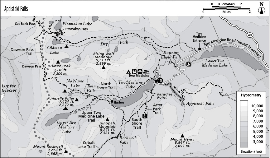
Finding the trailhead: Trail departs from the marked Scenic Point Trailhead on Two Medicine Road, about 4 miles beyond the park entrance station.
The Hike
This trail climbs to a small waterfall in the barren gorge of Appistoki Creek. It begins in a pleasant woodland of subalpine fir, lit by the blossoms of beargrass in early summer of favorable years. Beargrass is not a grass at all but a member of the lily family, with great bulb-shaped clusters of tiny white flowers. It blooms on a three-year cycle, with most plants in a given locale coming into bloom during the same year. The path rises gently through the forest, which thins with increasing elevation. The barren face of Appistoki Peak looms to the west, while the similar summit of Scenic Point rises to the east.
The trail strikes Appistoki Creek at the base of the mountains as it emerges from a desolate vale between the peaks. Turn right at the junction to reach an overlook on the rim of a rocky ravine. From here, the main waterfall can be seen as it slides down across an inclined face of stone, with pools and lesser cascades below it.