The Hike
From the parking lot at Red Rock Canyon, cross Red Rock Creek and turn left, descending along its northwest bank to reach a stout bridge above Bauerman Creek. Mount Blakiston rises to the south, while Anderson Peak is to the west. Once across this bridge, take the rightmost trail, which is for hikers. The trail climbs gently through coniferous forest, with views of Mount Blakiston through numerous openings. At Blakiston Falls the trail passes two wooden observation platforms that lean out over the water to provide excellent views of the thundering cascade. Stay within the fence; slick, algae-coated rocks are an extreme hazard in this area.
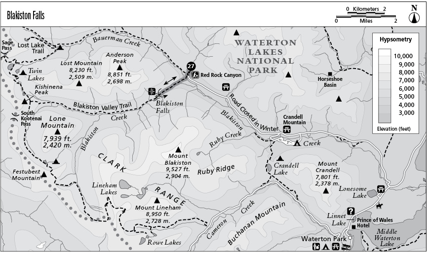
Key Points
0.0 Start at trail sign. Take the paved trail across Red Rock Creek, then turn left.
0.2 Bridge over Bauerman Creek.
0.8 Blakiston Falls. Turn around and return the way you came.
1.6 Arrive back at trailhead.