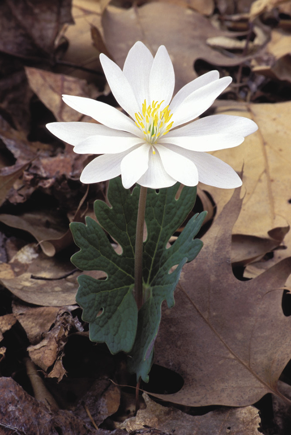
Bloodroot (Sanguinaria canadensis).
17 Chestnut Top Wildflowers
The first 0.5 mile of Chestnut Top Trail provides possibly the finest spring wildflower show of any trail in the Smokies of comparable distance. Considering that the Smokies have perhaps the greatest flowering display in the country, that’s a bold statement. Hike the trail in the middle of April and see for yourself. There are trilliums, waterleaf, violets, dwarf iris, spring beauty, squawroot, anemone, toothwort, bloodroot, jack-in-the-pulpit, hepatica, false Solomon’s seal, fire pink, cancer root, purple phacelia, wild ginger—and that’s just a warm-up! The flowering display continues somewhat throughout the spring and summer and even into autumn, but try to make this hike in April if possible.
(See map for Hike 14: Spruce Flats Falls.)
Start: Chestnut Top trailhead at the Townsend Y
Distance: 1.0 mile out and back
Hiking time: About 45 minutes—day hike (allow more time to view the wildflowers)
Difficulty: Moderate
Trail surface: Forest trail
Best season: Apr for the wildflowers
Other trail users: Hikers only
Maps: Wear Cove USGS quad; Trails Illustrated #229 Great Smoky Mountains; Trails Illustrated #316 Cades Cove Elkmont
Other: The parking area is large, but if you hike this trail in summer or on a sunny weekend from spring through fall, you might not find an empty spot. The Y is an extremely popular swimming, sunning, and tubing spot. The nearest facilities are available in Townsend, a couple of miles north.
Finding the trailhead: The hike begins from TN 73 near the junction with Little River Road and Laurel Creek Road, known locally as the Townsend Y. A long, narrow parking area is on the river (north) side of the road (GPS: N35 39.643' / W83 42.540'). Look for a split-rail fence marking the trailhead on the south side, opposite Little River.
The Hike
Begin at the split-rail fence on the opposite side of the road from the parking area. The trail is a continuous moderate ascent for about 0.5 mile, at which point it leaves the northeast-facing slope and swings around to a south-facing slope. Turn around here if you came only for the wildflowers.
Miles and Directions
0.0Start from the Chestnut Top trailhead at the split-rail fence.
0.5The trail swings away from the northeast-facing slope. Return the way you came.
1.0Arrive back at trailhead.
Option: With a second vehicle or a shuttle, you can hike all of Chestnut Top Trail to Schoolhouse Gap, 4.3 miles from the trailhead. At the gap you would pick up Schoolhouse Gap Trail and follow it 2.2 miles down to Laurel Creek Road, 3.6 miles from the Townsend Y.
Bloodroot (Sanguinaria canadensis).