St-Vaast-la-Hougue to Caen
This tour starts at St-Vaast-la-Hougue, where Edward III and his army disembarked on 12 July 1346, and continues to Caen, plundered by the English army before they broke camp and moved on from the town on 31 July. It covers a distance of about 160km.
What Happened
Edward III had arrived at Portchester on 1 June 1346 and waited while his fleet gathered. By the end of the month around 1,000 ships had been assembled, enough to carry the army of around 14,000 men, comprising 2,800 knights and men-at-arms, 3,000 mounted archers, and 8,000 infantry, of whom 5,000 were archers. To provide mounts for the knights, men-at-arms and mounted archers, there would have been at least 10,000 horses to be transported. Medieval armies, however, included not just fighting men but also a wide range of camp followers and men of many civilian trades. With this army were miners, masons, carpenters, tent-makers, blacksmiths, farriers, surgeons, clerks and servants. The ships were provisioned for two weeks, sufficient for the passage to Bordeaux in Gascony. The expectation seems to have been that the destination was indeed Gascony, but this was a cover story to attempt to confound the French. The real destination was shrouded in great secrecy because a landing in Bordeaux would have been without risk of opposition, whereas a landing in French territory would be very risky if the destination were known and opposition could be assembled. Around 20 June Sir Hugh Hastings was appointed as the king’s lieutenant in Flanders and a small force marshalled to go with him. No secret was made of his destination, and his mission was to work with the Flemings who had declared that they would assist King Edward. As King Philip VI started to get wind of what was in store he turned to the Scots to try to persuade them to take action in the north.

The fleet sailed on 28 June, still under a cloak of secrecy as to the destination, and with the ships masters carrying sealed orders concerning the destination. These orders were to be opened in the case of the fleet being dispersed by adverse weather. Unfavourable winds disrupted the start of the expedition and the ships reassembled south of Portsmouth to await more favourable conditions. It was only on 11 July that the fleet finally set off for Normandy, anchoring off the beach south of St-Vaast-la-Hougue (Point 5) before dawn the next day. The bay south of St-Vaast is well sheltered, with shallow beaches which would have made the landings relatively trouble-free, although timing would have been important since high spring tides in particular cover the beach completely with the sea lapping against the rocky foreshore. First ashore were the Earl of Warwick and Godefroy d’Harcourt, who had been banished from France two years earlier and who held lands around St-Sauveur-le-Vicomte and towards Carentan on the Cotentin peninsula. They landed with 400 men-at-arms and 1,100 archers to establish and protect the beachhead for the subsequent disembarkation of the mass of men, horses, equipment and supplies.
There was no serious opposition to the disembarkation of the English army. The bulk of the French forces in Normandy were some distance away north of the Seine. The French king’s senior representative, the marshal Robert Bertrand, had summoned local men of military age to muster in their home districts. The muster in St-Vaast-la-Hougue had to be abandoned because of the English landing. In addition, a company of Genoese crossbowmen, who had been based at St-Vaast-la-Hougue since April, had deserted a few days before the landings because they were unpaid. Ships, including eight intended for the defence of St-Vaast-la-Hougue, were found abandoned on the beach and burnt by the English. Not only had ships been abandoned but also villagers fled and took refuge as the English approached, adding to the marshal’s problems in finding men. With all these difficulties his resources were very limited, and the best he could do was make a desultory attack with a few hundred men who were driven off by those from the English fleet who were already ashore.
The king landed at around mid-day on 12 July and, it is said, tripped and fell, hitting his head which provoked a nose-bleed. Some saw this as an ill-omen, but the king retorted that on the contrary it showed that the land was ready to receive him. Having climbed a hill nearby, the king knighted a number of young noblemen, including the sixteen-year-old Prince of Wales, the Black Prince, and the Earl of Salisbury. In addition, Godefroy d’Harcourt paid homage to Edward for his lands in Normandy. It has been suggested that these ceremonies were held in the church of St Vigor in the village of Quettehou (Point 4), which stands on the ridge 3km west of St-Vaast-la-Hougue. It has also been suggested that the king then moved north 3km to La Pernelle (Point 3), standing on one of the highest points on the escarpment with clear views north towards Barfleur (Point 1) and south to the landing beaches, to survey the surrounding countryside and the coastline.
On his first day ashore the king ordered that the people of Normandy and their property were to be respected. In particular, towns and manors were not to be burnt, churches and holy places were not to be sacked and the lives of the old, women and children were to be spared since they were his French subjects. Transgressors risked life and limb, and a reward of forty shillings was offered to bring before the king any offender caught red-handed. In theory the constable and the marshals should have enforced the king’s order, but in reality the army plundered and burned far and wide from the start and even as the king was looking out from La Pernelle he may well have seen the villages of Réville and Jonville, just to the north of St-Vaast, burning. On the following day, 13 July, St-Vaast-la-Hougue was burnt and the king moved to the nearby village of Morsalines, now a small settlement with a population of around 200, where he lodged in an inn. On 14 July elements of the army, together with some ships from the English fleet, reached the port of Barfleur, 10km north of St-Vaast-la-Hougue, and the town, further abandoned ships and the surrounding countryside were burnt and pillaged. Prisoners were also taken.
There was some sporadic and un-coordinated resistance, with the Earl of Warwick and his company, who were attacked while taking over an inn, amongst those who met resistance. However, the earl is reported to have fought honourably and driven off the enemy despite being outnumbered. Other inhabitants did not resist and withdrew to walled towns, joined a flood of refugees heading south or stayed put, accepting the arrival of the English as something they could not oppose.
There is a stretch of land immediately beyond the beaches about 800m deep and extending for 3km on both sides of Morsalines before the terrain starts to climb. This would have provided an ideal area to unload and organize stores, equipment, men and horses, and five days were spent here preparing for the coming campaign. These preparations included the baking of bread. In view of the scale of the operation five days was by no means a long period for completing the disembarkation and organization for the onward march. In addition, horses need time to adjust after a sea voyage and it would have been prudent not to have tried to move off too quickly. The Black Prince was to find to his cost in 1355 that pushing horses too hard after a sea passage could result in many deaths. The king’s plan was to march east, parallel to the coast, and then to move up the valley of the Seine to invade the Île de France. In doing so he probably intended to relieve the pressure on the small English armies already in France, but with an expedition of this size he must have had a grander objective in mind. It seems very likely from the outset that he wanted to draw Philip into battle. Furthermore, judging by the subsequent conduct of the campaign, his plan to join with Hugh Hastings and the arrangements he made for reinforcements to be sent to Le Crotoy, he may have had the County of Ponthieu in mind as the place for battle from the outset.
The army was divided in a conventional manner into three divisions for the march. The vanguard was under the nominal command of the sixteen-year-old Black Prince but in reality was led by the Earls of Northampton, the constable, and Warwick, the marshal, who were his senior advisers. The king commanded the centre and Thomas Hatfield, the Bishop of Durham, led the rear-guard with the Earls of Suffolk, Arundel and Huntingdon. Two hundred ships, the remainder being discharged from royal service, were to follow the army along the coast. Before setting out east, however, the fleet moved around the Cotentin peninsula, with landing parties destroying villages as they went. Of the castles in the area, only the garrison of Cherbourg stayed at its post and held out. In Cherbourg the twelfth-century Augustinian abbey of Notre Dame du Voeu, founded by Henry I’s daughter Matilda, suffered one of many assaults in its life and was burned by the marauding troops.
Edward’s army finally broke camp on 18 July and started out on its march, climbing away from the coastal plain and up onto the higher ground, passing through thickly wooded countryside, some of which remains in the Bois du Rabey astride the D902 to the west of Quettehou. The first destination was the undefended town of Valognes, 15km from Morsalines. The inhabitants came out to meet the king, pleading for him to spare their lives and property. The king stayed in a house of the Dukes of Normandy and the Black Prince in the house of the Bishop of Coutances. The king restated his orders for his men to respect the property of his Norman subjects, but again to no avail. The men took what plunder they wished and left the town in flames when they moved on next morning.
From Valognes the English moved on to St-Côme-du-Mont (Point 8), which stands near the river Douve, on 19 July. Around 15km southwest of Valognes lies St-Sauveur-le-Vicomte, the ancestral home of Godefroy d’Harcourt, and, with the ostensible aim of protecting the right flank, Godefroy d’Harcourt set off in this direction only to find that the castle was in ruins, having been destroyed by his arch-enemy the French marshal Robert Bertrand three years before. The remainder of the army set off more directly towards St-Côme-du-Mont and is reported to have passed Montebourg (Point 6) with its fine Benedictine abbey on its left, although there are accounts of the town being burnt and looted. On the road to St-Côme-du-Mont is Ste-Mère-Eglise (Point 7) which, apart from its church, was totally destroyed during the Hundred Years War, and subsequently rebuilt on adjacent ground. The march to St-Côme-du-Mont would have been easy going across the most gentle of undulating terrain with no rivers of any consequence to slow progress. There had been a bridge over the Douve just beyond St-Côme-du-Mont since at least the twelfth century which could have been of great help to the English if it had been intact. However, the bridge had been broken and had to be rebuilt overnight before the army crossed the river the following day and advanced on Carentan (Point 9). According to local tradition the bridge had been destroyed by local inhabitants and St-Côme-du-Mont was burnt down in reprisal, but it is more likely that the destruction was no more than part of the prevailing pattern of looting and burning.
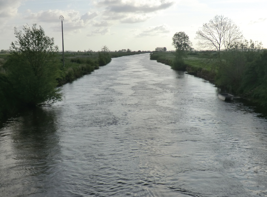
The river Douve just to the south of St-Côme-du-Mont. (Peter Hoskins)
In the fourteenth century there was marshland on the approach to the river and extending well beyond the Douve and Carentan. Despite drainage in more modern times the area of marshland is readily identifiable. The army had to advance on narrow paths across this marshland with water on both sides towards the town which stands on a narrow spur of ground 25m above the surrounding marsh. The town was defended by walls with wide ditches on three sides and the river to the north behind the church, and the garrison included Genoese mercenaries willing to fight. Thus, this would have been an ideal place to disrupt the English advance, but the bourgeois decided to surrender and there was no opposition within the town. Furthermore, after a brief struggle, the castle at Carentan, in which King John of England had stayed frequently, was surrendered to the English. Two Norman knights, Raoul de Verdun and Nicholas de Groussy, who were protégés of Godefroy d’Harcourt, were left in command of a mixed Anglo-Norman garrison. The town was pillaged and burnt, with over 1,000 inhabitants said to have been killed, and the houses of notables and the defences deliberately destroyed. One account relates that this destruction and pillaging was a result of the fury of Edward III at the death of three French lords in his service, Tesson, Bacon and Percy. However, again this may have been simply part of the pattern of general destruction. Whatever the truth of the matter, Edward was concerned about the consequences of poor discipline and ordered that food should not be wasted. The castle was subsequently retaken by supporters of Philip VI, and de Verdun and de Groussy were captured and taken to Paris where they were decapitated for treason in December 1346.
From Carentan Edward’s army now followed the causeway through the marsh towards St-Lô. The land here climbs almost imperceptibly from sea-level near Carentan to 70m before descending more steeply to the valley of the Vire, where the bridge at Pont-Hébert (Point 10) had been destroyed by Robert Bertrand, who hoped to make a stand at St-Lô (Point 11), 6km beyond the river. He put his men in the town and enthusiastic townspeople manned the walls and set about repairing defences which had been neglected. However, no attempt was made to impede the crossing of the river when the Black Prince reached Pont-Hébert on 21 July and the English set about repairing the bridge unopposed. While the army waited for the repairs, Edward III is said to have stayed at the château of Esglandes 2km west of Pont-Hébert; the castle has long since gone and only a bell-tower and cemetery from the parish church remain to mark the spot. Once the bridge had been repaired the English crossed the river the next day. St-Lô stands on high ground to the east of a sweeping ox-bow bend in the Vire, and the English army, approaching from the north, would have faced impressive-looking ramparts. Perhaps the poor state of these ramparts gave Bertrand little confidence in their efficacy, and he decided that discretion was the better part of valour and withdrew, leaving the English to take the town.

Marshland in the vicinity of Carentan, with the church of Notre Dame in the background. The marsh is considerably drier than it would have been in the Middle Ages due to modern drainage and the construction of canals. (Peter Hoskins)
Over the gates of St-Lô the arriving English found the skulls of three Norman knights executed for treason by Philip VI for having fought for Edward III in Brittany three years before. It is said that the skulls were taken down and given a proper burial, possibly as a private act by Harcourt. The same pattern as hitherto was repeated, with the rich market town being subject to looting and destruction, with one chronicler reporting that at least 1,000 barrels of wine were found in the town. The inhabitants had stayed put in anticipation of the town being defended, and were now unable to escape. Some were shipped back to England for ransom and others were killed.
Most of the existing ramparts of St-Lô date from after the fourteenth century, but nevertheless they give a good impression of the strength of the town. (Peter Hoskins)
Once beyond St-Lô the army climbed steadily onto higher ground with more pronounced undulations than hitherto, advancing on a wide front, burning and plundering a swathe of a countryside rich with farms, orchards, cattle and horses, and implementing the classic chevauchée tactics of Edward III. Later in the campaign, in a letter to King Philip, Edward summarized the objectives of such operations as being to punish rebels, in other words those who did not recognize his claim to the French throne, to comfort friends and those faithful to him, and to carry on the war as best he could, to his advantage and the loss of his enemies. Underlying these objectives was the overall aim of provoking the French king into giving battle, and the widespread destruction served this purpose by demonstrating that the French king was incapable of fulfilling his duty to protect his people.
Meanwhile the fleet was destroying everything within an 8km strip of coast from Cherbourg to the mouth of the Orne at Ouistreham north of Caen. Over 100 French ships, including 61 prepared for naval service, were burned. The quantity of plunder taken was such that ships were fully loaded and masters started to desert to take their gains home to England. In addition to the desire to take plunder, many in the ships’ crews would have been from the English south coast and they would have been only too pleased to exact revenge for recent French attacks on Portsmouth and Southampton.
On 23 July the king gave orders for the army to gather at Torigny-sur-Vire (Point 12), 15km south-east of St-Lô, and Sir Thomas Holland set off with an advance party. However, on the receipt of new intelligence the king changed his plans and moved off to the east to Cormolain (Point 13), where the French constable had lodged the previous night. Some elements of the army probably lodged at Sept-Vents 8km to the south. Those who had gone ahead with Thomas Holland to arrange quartering at Torigny-sur-Vire, including houses for the nobles, withdrew to rejoin the army at Cormolain, burning the town and the intervening countryside as they went.
When the army left Cormolain on 24 July they burnt the town and the surrounding countryside, but some archers were trapped inside a building which they were plundering and suffocated when it was set alight by the French. The army stopped that night near Maupertuis, now the site of a much more modern château and farm, in the village of St-Germain-d’Ectot. The next day the king moved on to Fontenay-le-Pesnel (Point 14), possibly lodging in a monastic cell at Le Cairon 3km south in the village of Vendes. Meanwhile the prince lodged at Cheux (Point 15) 4km further east. Although there are now no traces there is said to have been a fortress here in the fourteenth century.
In its encampments near Fontenay-le-Pesnel the army was 18km west of Caen (Points 16–30). The officials in Caen had heard news of the devastation caused by the English, and the evidence was in front of their eyes as refugees with carts and animals thronged the streets of the town. That evening an English monk, Geoffrey of Maldon, arrived with letters calling on the town to surrender and offering in return to spare the lives of citizens and their goods and homes. The evident inability of Edward III to keep to his terms offered to the citizens of Valognes and St-Côme-du-Mont may well have weighed on the decision of the officials, but in any case the terms were rejected and the Bishop of Bayeux had the unfortunate English friar thrown into prison.
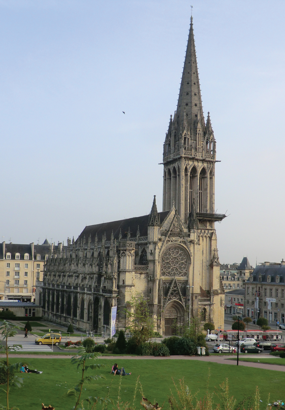
At first light on Wednesday, 26 July the English army started its advance across the flat plain between Fontenay-le-Pesnel and Caen and is said to have established camp on the plains of Ardennes, in the commune of St-Germain-la-Blanche-Herbe 4km west of the town, Couvrechef, now absorbed into the suburb of La Folie-Couvrechef 2km to the north-west, and Hérouville, now in the commune of Hérouville-St-Clair 4km to the north-east. Caen was a large town, second only to Rouen in Normandy, with a population of around 10,000. It had a strong castle to the north, built by William the Conqueror and developed by Henry I of England, but the town was poorly protected with low walls dating from the eleventh century which were poorly maintained. There were eight gates in the walls, and twenty interval towers. A slightly later tower, La Tour Guillaume le Roy, survives on the site of one of these. To the west of the town, whose walls on the eastern side were contiguous with the town ramparts, was the Abbaye aux Hommes and to the east, about 200m beyond the walls but within its own walls, was the Abbaye aux Dames. The ramparts to the south of the town were protected by the river Odon, which flowed approximately where the Boulevard du Maréchal Leclerc runs today. There was a bridge across the Odon, protected by towers on both sides of the river, which led into the rich suburb of the Île St-Jean. This suburb was unwalled but completely surrounded by the river Orne and was orientated along the line of the modern rue St-Jean. There were two gates into the town to the north.

The arrival of the English army came as no surprise and measures had been taken for the defence of Caen. Although the two abbeys were defensible, in particular the Abbaye aux Hommes whose walls had been newly constructed, they were both abandoned for lack of manpower. Inside the town the Count of Eu and the Lord of Tancarville had perhaps 1,500 men, including 300 Genoese crossbowmen under command of the captain of the castle, Robert de Warignies. The garrison of the town had improved the defences as best they could with palisades and trenches to the north and west, and to the south thirty ships and barges had been moored along the banks of the Odon with archers on their decks.
The English advance to Caen was made on a broad front of several kilometres, with the camp followers and non-combatants spread out in front to give the impression of a much larger army than was in fact the case. Their appearance over the brow of the low ridge around the town seems to have caused a change of plan. The Count of Eu and the Lord of Tancarville decided to abandon the old town and place their hopes in the defence of the suburb of the Île-St-Jean to the south, although women of higher rank were taken into the castle for protection along with the Bishop of Bayeux. Other women and children were sent towards Falaise for safety. The decision to concentrate the defence in the Île St-Jean was probably made under pressure from the wealthier residents whose homes and wealth were on the island. Thus, some 200 men-at-arms and 100 Genoese crossbowmen were left to defend the castle and the remainder of the garrison withdrew across the bridge of St Pierre to the Île St-Jean. The defences were weak, with the line of ships on the Odon, the fortified Porte-St-Pierre, and to the south and east only the branches of the river providing protection. Unfortunately the fortifications of the Porte-St-Pierre were orientated to defend the old town to the north and not the Île St-Jean, although a barricade had been erected to the north in an attempt to ameliorate the situation. The problem was exacerbated by the low level of the river because of a dry summer, which allowed men to wade across where ships could normally navigate.
The king advanced towards the south of the town. The Black Prince took a more northerly route, probably across the plain where the airport of Caen-Carpiquet now stands and past the twelfth-century abbey of Ardennes, pillaged in 1417 during the siege of Caen, towards the abandoned Abbaye aux Dames. The assault on Caen began in an uncoordinated fashion when some of the Black Prince’s men seized a gate to the old town. The Earl of Warwick entered the town with some men-at-arms and archers. The men converged on the Porte-St-Pierre, burning houses in the vicinity and engaging the defenders in hand-to-hand fighting at the barricade. The king was concerned at this disorderly attack being made before he could concentrate his efforts. He sent the Earl of Northampton and Richard Talbot with some men-at-arms to order Warwick to sound the retreat. Either the signal was ignored by the troops, or Warwick and Northampton decided that it would be better to continue with the combat than to break off the assault. In any case the fighting spread out along the river banks. Two of the boats moored on the river bank were set alight, and others boarded as men forded their way across the river in the face of shooting by the crossbowmen. The defenders at the bridge now found themselves surrounded. Some managed to flee to the old town, and others took temporary refuge in the fortified gate towers. The townspeople joined in the defence as best they could, with the women bringing materials, food and wine to the men. For the French, however, the game was up and, although sporadic fighting continued, men of rank looked for those of appropriate stature to take their surrender. The Count of Eu surrendered to Sir Thomas Holland. The count was subsequently purchased by King Edward. He spent three years in England before returning to France to raise his ransom of 20,000 nobles, but was executed for his pains shortly after his return. In the circumstances it is possible that the ransom was never paid. The surrender of the Lord of Tancarville was accepted by Sir Thomas Daniel, a retainer of the Black Prince. He was held in Wallingford castle until his release in 1348 after payment of his ransom. Several hundred prisoners were taken overall, including some rich citizens. Some 2,500 bodies were said to have been found in the streets after the fighting, with one contemporary estimate putting the number of French casualties at 5,000. In contrast to these figures only one English man-at-arms is known to have been killed, but in view of the nature of the fighting it is likely that casualties among the archers and infantry would have been heavy.
As dusk settled on the town the castle still held, with its 300 men under the command of Robert Bertrand and his brother Guillaume, the Bishop of Bayeux. The following morning, Thursday, 27 July, five men were seen leaving the castle. Three were killed and two were taken prisoner, but little useful information was forthcoming. The message that they were carrying is unknown, but it is likely that the Bertrands would want to get news out that, despite the destruction of the town, the castle remained in safe hands and they would continue to resist. Refugees from Caen may well have fled 30km north-west to Bayeux, spreading the news of the disaster, since later on that Thursday emissaries from the town arrived in Caen offering to surrender Bayeux. The offer was refused on the grounds that Edward was not yet in a position to protect the town. The representatives were allowed to depart, with the expectation that their offer would be accepted at a later date. On the Friday Edward’s men ranged far and wide pillaging and burning. Bayeux seems to have escaped unscathed, but there was clearly alarm in the town, and on Saturday fifteen citizens of Bayeux returned to Caen to finalize the surrender. Before leaving Caen on Monday, 31 July arrangements were made to ship to England the more important prisoners, including sixty knights and 300 rich burgers, and the very considerable booty taken in the town.
The French Response
King Philip VI was in no position to pose a serious challenge to Edward III’s invasion. He had summoned men to assemble in June, but the slow process was not going to produce an army of any consequence before August. In addition, the Duke of Normandy was in the southwest trying to take Aiguillon. In the meantime the French forces in the north were limited to scattered garrisons and coastguards, which could not be expected to be any more successful than the marshal’s small band of men had been at the time of the landings. The constable, Raoul II, Count of Eu, concentrated his efforts on delaying the progress of the English army once it started to move away from the landing zone, with the objective of stopping it at Caen using the Orne as a natural line of defence. With this in mind the constable transported troops by boat from Harfleur to Caen. The chamberlain, Jean de Melun, Lord of Tancarville, joined the constable and men and stores were sent to the castle in Caen. The marshal sought to delay the English progress while the preparations at Caen were being made. However, his force was not strong enough to have a serious effect on Edward’s advance, and Bertrand had to content himself with harassing tactics and the destruction of some bridges on the English route as he withdrew in front of the English. At about the date that the English were reaching Pont-Hébert on 21 July, Hugh Hastings arrived in Flanders. The French now had to divide and while Rouen was designated as the assembly point for the army to counter Edward, a part of their forces was directed to Amiens to hold the Somme against Hastings and the Flemings. Philip VI took the oriflamme, a great banner carried in battle when the king was present, and which signified that no quarter would be given and no prisoners taken, at Saint-Denis on 22 July. He then set off slowly down the Seine valley. At about this time he wrote to King David of Scotland to try to persuade the Scots to invade England with the aim of taking the pressure off France. There was some cross-border raiding, but there was no serious attempt at an invasion and at the end of July a two-month truce neutralized the Scottish threat for the time being at least.
The Army on the March
It is difficult to visualize a medieval army on the march, but in the First World War a British army division of 20,000 men with 5,000 or so horses stretched over 25km of road and took seven hours to pass a point. With the poor roads of the fourteenth century Edward’s army would have moved on a broad front rather than in a column, and in a dispersed marching order to facilitate foraging from the countryside to supplement rations carried by the troops. Nevertheless this comparison gives some idea of the considerable enterprise of managing a large army on the move.
When Edward set off on his march he had an army of around 14,000 men. On top of this he would have had several thousand noncombatants, including pages and men drawn from many medieval trades. Armourers, fletchers, bowyers, blacksmiths, tent-makers, physicians, clerks, clergy, jugglers and musicians would typically accompany such armies, but we also know that Edward had forty carpenters, his engineers for bridge-building. In addition, there would have been men for handling the cannon, and a large number of carts would have been required to carry supplies. The stock of arrows, perhaps as many as 250,000 carried in barrels, would alone have required a significant number of carts.
Feeding an army of this size was a huge task, and the daily demand would be for 25 tonnes or more of food. An even bigger challenge would be feeding and watering the horses. Knights, esquires, and men-at-arms typically took four, three and two horses on campaign, respectively. Mounted archers would normally have one horse, and some non-combatants would also have horses. There would be others to pull carts and an estimate of 10,000 horses for the army is on the conservative side. The daily needs for food and water for so many horses would have been considerable. Each horse would need about 25kg of fresh grass or 10kg of dry fodder per day. In view of the quantities required it would not be practical to carry dry fodder, so each day some 100 tonnes of dry fodder or several hectares of pasture would have to be found. The water requirements were also demanding, since each horse would drink around 18 litres a day.
Food was brought from England and there would also have been livestock with the army, but it would have been impossible to provision for the entire campaign in this way and Edward’s army would have needed to live off the land. With the English army on the move in the late summer, village store-houses could be expected to be replenished from the harvest, and raiding villages would provide some of the needs of the army. However, the French would have tried wherever possible to take supplies into fortified towns, foraging parties would have been harassed, and villagers would have done their best to hide animals and supplies. In addition, destroying crops and killing animals in the path of an advancing army was a common defensive practice. In the early stages of the march, until Lisieux, the French do not seem to have been well enough organized to deny the English their supplies, but as the march progressed the army became increasingly short of food.
The Route by Car
The Barfleur Variant
The main route starts in St-Vaast-la-Hougue, where Edward III’s army disembarked. However, a variant, which takes in Barfleur, Montfarville, Réville and La Pernelle, adds only about 10km to the tour. Leave Barfleur (Point 1) on the D902 and after 1.5km turn left onto an unnumbered road to Montfarville (Point 2). Leave the village on an unnumbered road, Rue És Pailles, and join the D155. Follow the D155 and D168 into Réville. From Réville follow the D1 and D328 to the D928. Turn right onto the D928 and then left onto the D328 to La Pernelle (Point 3). Leave La Pernelle on the D328 and then turn left to follow the D125, D26 and D902 to Quettehou (Point 4). Take the D1 to St-Vaast-la-Hougue (Point 5) and rejoin the main route.
The Main Route
Leave St-Vaast-la-Hougue (Point 5) on the D1 towards Quettehou. Just after entering the village turn left and follow the D14 to Morsalines. Turn right onto the D216 and take the first turn to the right after St-Martin-d’Audouville onto the D62. Follow this road to Valognes.
Follow the D974, N13 and again the D974 from Valognes to Montebourg (Point 6). Continue on the D974 and rejoin and follow the N13 for 5km. Take the D974 once again to Ste-Mère-l’Eglise (Point 7). Leave the village on the D974 and rejoin the N13. Leave the N13 on the D913 and after 1km turn right at the junction with the D974 into St-Côme-du-Mont (Point 8). Take the D974 from St-Côme-du-Mont into Carentan (Point 9). Continue on the D974 until the junction with the D544, 1km after crossing the canal on the exit from the town, and follow this road for 2.5km to the junction with the N174. Turn right and follow this road to Pont-Hébert (Point 10). Continue on the N174 to St-Lô (Point 11).
Leave St-Lô on the D974 and join the N174. After 4km leave the N174 and rejoin the D974 to Torigny-sur-Vire (Point 12). Leave Torigny-sur-Vire on the D13 and at La Lande-sur-Drôme turn left onto the D116. On reaching the D71 turn right for 200m and then left onto the D116 once again. At the junction with the D31 turn right onto the D31 to Cormolain (Point 13). Continue on the D31 to the junction with the D9. Follow the D9 past Maupertuis in the commune of St-Germain-d’Ectot to Fontenay-le-Pesnel (Point 14). Remain on the D9 to the junction with the D13. Turn right onto an unnumbered road and at the junction with the D173a turn left and follow this road into Cheux (Point 15). Take the D89 from Cheux to Tourville-sur-Odon. Turn left and follow the D675 into Caen (Points 16–30).
The Route on Foot and by Bike
This tour uses quite extensive lengths of footpath and canal towpaths as well as quiet tracks and roads. The terrain starts on the coastal plain of the Cotentin, climbs onto gently undulating terrain, crosses flat, marshland beyond Carentan and then once more enters undulating terrain before finishing on the flat land extending to Caen. The main tour covers 160km. Starting from Barfleur adds about 10km to the distance.
The Barfleur Variant
Leave Barfleur (Point 1) on the footpath GRP Tour du Val de Sarre which runs just to the east of the D902 through Montfarville (Point 2) and follow the path to join the D902 just north of Anneville-en-Saire. The path is not well way-marked but is easy to follow.
The path is initially on a paved surface, but just beyond Le Roches the surface changes to packed earth and becomes increasingly poor. There is a short section of paved road through Montfarville, but beyond the village the natural surface is poorly maintained with ruts, potholes and long grass. An alternative route for cyclists is to take the D902 from Barfleur to Anneville-en-Saire.
Continue on the GRP Tour du Val de Sarre, which follows the D902 for about 400m into Anneville-en-Saire and then turns right to follow an unnumbered road and two short stretches of track to La Pernelle (Point 3).
The stretches of track of the GRP Tour du Val de Sarre after Le Petit Vicel and up the ridge to La Pernelle have natural surfaces which are rutted and muddy in wet weather. The alternative route for cyclists is to stay on the D902 and turn right to follow the D328 to La Pernelle.
From La Pernelle stay on the GRP Tour du Val de Sarre as far as the junction with the D125. Follow the D125 to the junction with the D26. Cross the D26 and follow footpaths and a short stretch of road to the church of St Vigor in Quettehou (Point 4). From the church descend to join the D902 and then the D1 through Quettehou to St-Vaast-la-Hougue (Point 5) and rejoin the main route.
The track between La Pernelle to the D125 has a good natural surface, but an alternative for cyclists is to follow the D328 and then the D125. The path between the D26 and the church of St Vigor has a poor natural surface with long grass. An alternative route is to follow the D26 to the D902, turning right to follow the D902 until just south of the church. An unnumbered road leads to the church.
The Main Route
Leave St-Vaast-la-Hougue on the D1 initially and just to the west of the Hotel de la Granitière turn left to follow the Rue de Morsalines and join the GR223 coastal footpath. It should be possible to follow the path to Le Rivage and then take the D216E3 to join the D14. However, in the spring of 2014 the path was closed beyond Le Buissonet due to the path having been washed away by storms. If it has not been reopened, take the D216E2 from Le Buissonet and turn left onto the D14. Follow this road to Morsalines.
The GR223 between St-Vaast-la-Hougue and Le Buissonet is not suitable for cyclists: it is narrow, has sections with a stone surface which is slippery when wet and slopes towards the sea, and has low overhanging branches. Cyclists should take the D1 from St-Vaast-la-Hougue and turn left onto the D14 in Quettehou and follow this road to Morsalines.
From Morsalines take the D216 to St-Martin-d’Audouville. Join and follow the D62 to Valognes. Leave Valognes on the D974. On reaching a water tower on the left, 1km after the junction with the D2, turn left at La Victoire and follow an unnumbered road through La Croix Verte and Hameau Lesdos to join the D974 into Montebourg (Point 6).
The GR223 runs from Montebourg to Ste-Mère-Eglise (Point 7). However, there are sections away from roads (from Joret to the D115, between Picard and the D115, and from Le Pont Percé to Ste-Mère-Eglise) which can be very difficult and even impassable in wet weather due to susceptibility to flooding and associated deep mud. A variety of alternative routes on roads can be used. One such route is to follow the D115 from Joganville through Emondeville to the junction with the D15 near Baudienville. The D15 is then followed into Ste-Mère-Eglise.
In addition to the difficulties with the GR223 in wet weather described above, the section from Montebourg to just short of the D115 is rutted and potholed. Cyclists are advised to follow the D974 and D420 from Montebourg to Emondeville. Then follow the D115 to the junction with the D15 near Baudienville. The D15 is then followed into Ste-Mère-Eglise.
Leave Ste-Mère-Eglise on the D974. Near the junction with the N13 take the D67 through Ecoqueneauville and turn right to follow the D387. At Beaumont turn left and follow a track to the D129. Turn right and follow the D129. About 100m beyond the junction with the D329 carry straight on and follow an unnumbered road until 500m beyond La Vauxelle. Turn left onto the Rue des Planeurs and then right onto the D913. Cross over the N13 and follow unnumbered roads into St-Côme-du-Mont (Point 8).
The section of track between Beaumont and the D129 has a poorly maintained natural surface. The alternative route for cyclists is to remain on the D67 until the junction with the D129 and rejoin the walking route after 1.5km.
From St-Côme-du-Mont follow the D974 through Carentan (Point 9). Immediately after crossing the river on leaving the town, turn right near a car wash to join the towpath alongside the river Taute and then the disused canal Vire et Taute. Leave the towpath and join the D89 near Le Port des Planques. After 800m join the D389. Follow the D389 to Le Dézert, with short sections on the D257 and D289 near Le Carrefour Vannier. Turn right onto the D8 in Le Dézert and then left onto the D257 which is followed to Pont-Hébert (Point 10).
The towpath alongside the river and the disused canal is also initially a designated cycle path with a good surface. However, about 800m beyond the Maison des Ormes at the junction of the canal and the river, the path is on a grass surface. From here cyclists can take an unnumbered road which becomes the D444. Turn right at the junction with the D89 and rejoin the walking route near Le Port des Planques.
Leave Pont-Hébert on the N174. Just after crossing the railway, turn right and follow the D447 as far as Le Chasse Neuve. As the D447 turns sharply right go straight on and follow an unnumbered road to the junction with the N174. Cross the N174 and follow unnumbered roads running roughly parallel to the N174 into St-Lô (Point 11). From St-Lô take the D972 just beyond the chapel of La Madeleine and turn right onto the Rue des Noisetiers. Turn left at the Route Saint-Jean and then right onto the Rue Léon Jouhaux. Follow the D972 for 400m and then take the D11 to La Barre-de-Semilly. Leave the village on the D390 and go straight across the D59 to join the D90.
Follow the D90 to the junction with the D31 and follow this road through Cormolain (Point 13) to join the D9 just beyond Le Pont Mulot. Stay on the D9 past Maupertuis through Fontenay-le-Pesnel (Point 14). On leaving the village turn right at the junction with the D13 onto an unnumbered road. Turn left onto the D173a and follow this road to Cheux (Point 15). Take the D89 out of the village and where the road turns sharply right through a right-angle after about 800m turn left and then almost immediately right to follow an unnumbered road which crosses over the A84. Take the first left after crossing over the motorway onto the D89a. Turn left at the junction with the D675 and follow this road into Caen (Points 16–30). Just beyond Verson the GR221C can be followed into Caen. This will add 2km to the tour.
The GR221C from Verson runs on paved surfaces in places, but other sections are along earth paths which are often rutted and potholed. The alternative for cyclists is to remain on the D675.
What to See
Barfleur
Point 1: Barfleur is a pleasant fishing port but with little to show for its medieval past. The church of St Nicholas is the third on this spot. The original eleventh-century church was badly damaged by Edward III’s troops in 1346 and, after having been restored, was finally destroyed during the sixteenth-century wars of religion. The only vestige of the medieval period in the town is a house in the Cour Ste Catherine just off Quai Henri Chardon (GPS 49.670018, -1.263726).

Medieval housing remaining in Barfleur in the Cour Ste Catherine. (Peter Hoskins)
Montfarville
Point 2: There is no direct evidence that Montfarville was pillaged in 1346, but in view of its proximity to Barfleur and other villages which were attacked it seems highly probable that it did suffer alongside other settlements in the area. Two monuments contemporary to the time of the English invasion survive: the thirteenth-century bell-tower of the church of Notre-Dame in the Place du 8 Mai (GPS 49.654715, -1.269418) and a roadside cross dating from the late tenth or early eleventh century. The cross (400m north of the church near 9 Rue de la Croix Muette, GPS 49.657386, -1.268792) was intended to protect travellers from brigands; presumably its powers did not extend to an English army.

The church of Notre-Dame in Montfarville. (Peter Hoskins)
The church of Ste Pétronille in La Pernelle. The bell-tower survived extensive damage in 1944. (Peter Hoskins)
La Pernelle
Point 3: The church of Ste Pétronille (GPS 49.618783, -1.298798) suffered extensive damage in the fighting around D-Day in 1944. The eleventh-century bell-tower was saved and restored. Next to the church is a small building built by the English as a guard-house in the fifteenth century.
Quettehou
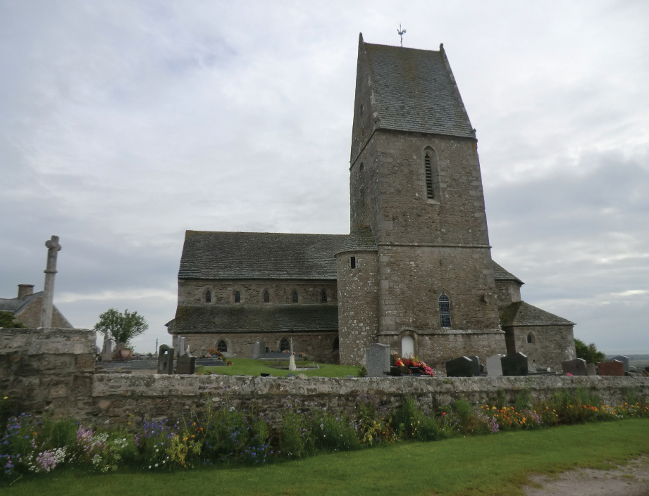
Point 4: The church of St Vigor, where Edward III is said to have knighted the Black Prince and other young nobles after the landing, stands 500m to the west of the village in Rue St Vigor (GPS 49.591951, -1.309807). There is said to be a plaque inside the church commemorating the ceremony on 12 July 1346, but the church may not always be open.

The church of St Vigor in Quettehou. (Peter Hoskins)
St-Vaast-la-Hougue
Point 5: There are no surviving medieval buildings in St-Vaast, but this lively town with its busy marina is worth a visit to see the landing beaches (GPS 49.583403, -1.269067).
Montebourg
Point 6: Construction of the church of St Jacques (Place St Jacques, GPS 49.488193, -1.379488) started in 1318 and it was consecrated only seventeen years before the arrival of Edward III’s army. It was badly damaged in 1944 but faithfully restored after the war. The abbey of Notre Dame de l’Etoile, just to the east of the D42 north of the town (GPS 49.491196, -1.375609), has been modernized and rebuilt over the centuries. It is said locally to have been taken and burnt by the English in 1346 and subsequently turned into a fortress. It was used by the Duke of Lancaster as his headquarters in 1356 during the Black Prince’s Poitiers campaign. It was not fortified, however, until 1357. The nineteenth-century abbey church is open to the public but the remainder of the building is used for a private lycée.
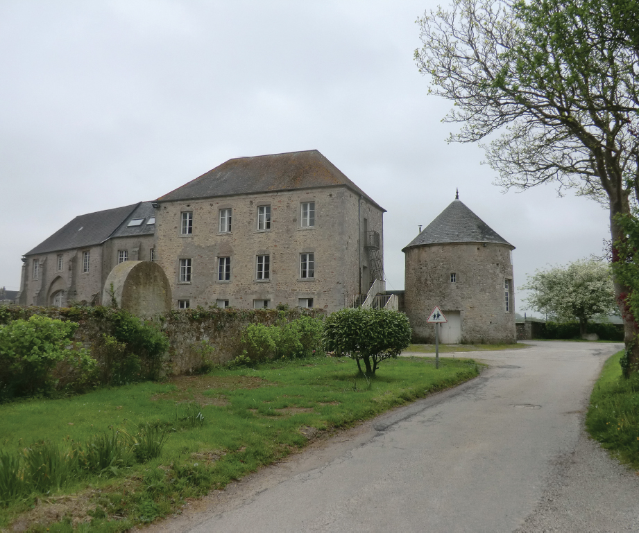
The abbey of Notre Dame de l’Etoile in Montebourg. (Peter Hoskins)
Ste-Mère-Eglise
Point 7: The village is famous for the unfortunate US paratrooper caught up on the church tower during the parachute drops on the eve of the D-Day landings, immortalized in the film The Longest Day. The transept of the church of Notre Dame de l’Assomption, on the D974 through the town (GPS 49.408329, -1.317368), dates from the twelfth century and parts of the nave and bell-tower from the early thirteenth century.

The church of Notre Dame de l’Assomption in Ste-Mère-Eglise. (Peter Hoskins)

The church of St Côme et St Damien in St-Côme-du-Mont. (Peter Hoskins)
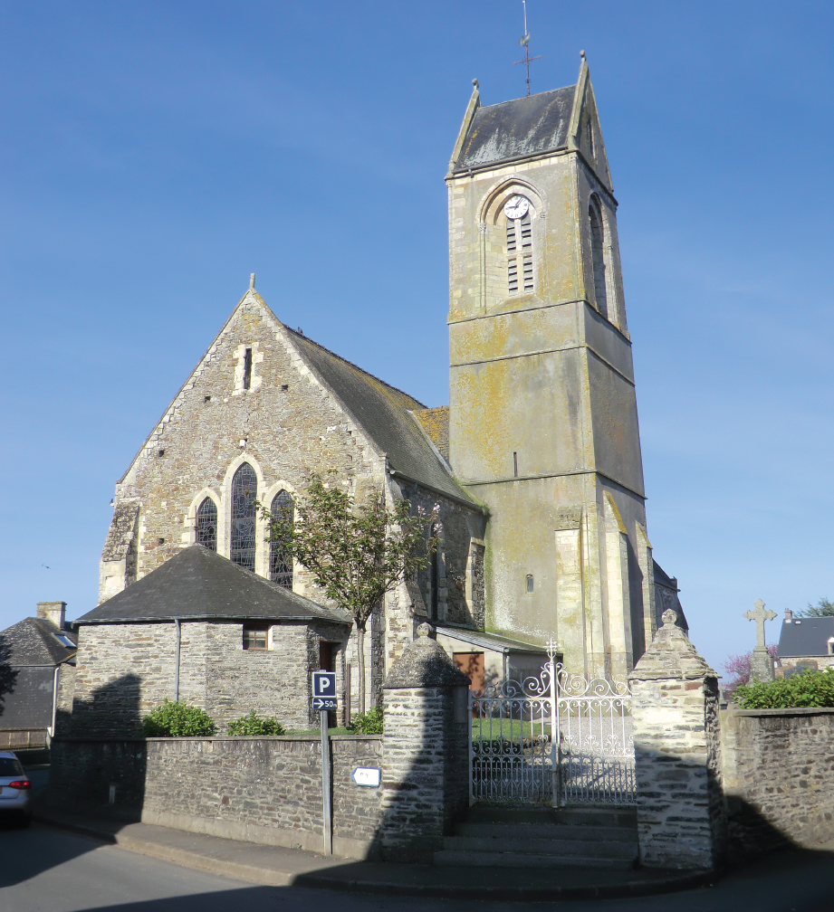
Point 8: The twelfth-century church of St Côme et St Damien is in Rue des Ecoles (GPS 49.335461, -1.273044).
Carentan
Point 9: There is an arcade of surviving medieval houses, said to be the remains of a fourteenth-century covered market, in Place de la République (GPS 49.304510, -1.243934). The church of Notre Dame, Rue Esnouf (GPS 49.305626, -1.243760), was built in the eleventh century, but only the west door remains from the Romanesque period. It suffered serious damage during the Hundred Years War. Reconstruction started in 1443 during the English occupation.
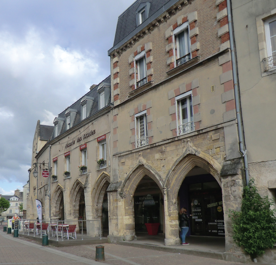
Medieval arcaded building in Carentan, said to have been part of a fourteenth-century covered market. (Peter Hoskins)

The Romanesque west door of the church of Notre Dame in Pont-Hébert. (Peter Hoskins)
Pont-Hébert
Point 10: About 1.5km to the west of Pont-Hébert, just to the north of the D92 (GPS 49.171780, -1.158774), are the bell-tower and cemetery of the church of Notre Dame. The castle of Esglandes, where Edward III is said to have stayed on 21 July 1346, stood near here.
St-Lô
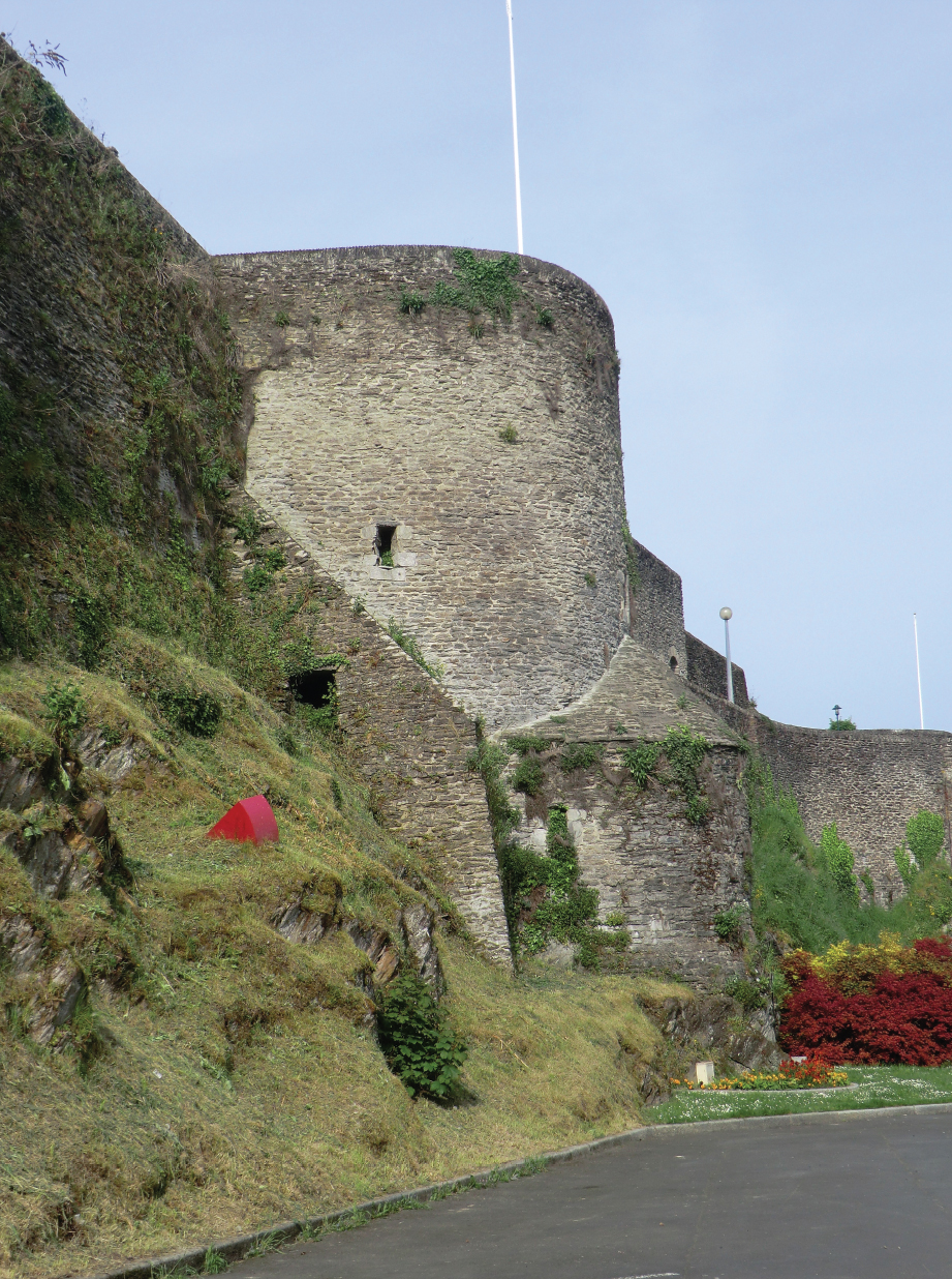
Point 11: The town suffered almost complete destruction during intense and protracted fighting between US and German forces during 1944 and those medieval monuments which survive have suffered a great deal and been extensively restored. There are extensive parts of the ramparts surviving, but only the Tour de la Poudrière in Place Général de Gaulle (GPS 49.116322, -1.091798) remains from the medieval period. The ramparts can be viewed from the Rue des Noyers below the tower (GPS 49.116322, -1.091798) and there are steps up to the tower and the ramparts. The church of Notre Dame, in Place Notre Dame (GPS 49.115336, -1.095068), was very badly damaged in 1944, and the two spires which once graced the western façade were destroyed. However, elements of the medieval church, including the lower parts of the two towers at the western end of the nave, survived. The abbey church of Ste Croix, Place Ste Croix (GPS 49.116325, -1.085525), was originally built in the thirteenth century but restored in the nineteenth century and again following damage in 1944. Further outside the medieval town, but now well within the agglomeration, is the chapel of La Madeleine, once the chapel of a lepers’ house. The chapel is just north of the D900, 200m west of the junction with the D88 (GPS 49.117182, -1.061245). Access by car is possible from the D88 and the Chemin de la Madeleine. Walkers or cyclists on the D900 can save a short distance by turning into the Rue de la Grange 200m west of the junction with the D88 and taking the path straight ahead as the Rue de la Grange swings left.

The Tour de la Poudrière in St-Lô, a surviving element of the medieval ramparts. (Peter Hoskins)
The gothic west door of the church of Notre Dame in St-Lô. (Peter Hoskins)

The chapel of La Madeleine in St-Lô. (Peter Hoskins)
Point 12: The thirteenth-century church of Notre Dame du Grand Vivier is in Rue Notre Dame (GPS 49.033547, -0.983282) and the twelfth-century church of St Laurent is in Rue Robert du Mont (GPS 49.034713, -0.980474).
Cormolain
Point 13: The bell-tower on the church of St André in Rue de la Drôme (GPS 49.129747, -0.854861) dates from the fourteenth century.
The church of St André in Cormolain. (Peter Hoskins)
Point 14: The army lodged in and around Fontenay-le-Pesnel on 25 July 1346 as it approached Caen. The church of St Aubin in Rue St Aubin (GPS 49.168362, -0.586132), somewhat confusingly in the suburb of St Martin, was built during the twelfth, thirteenth and fourteenth centuries. The fourteenth- and fifteenth-century church of St Martin has not fared so well, and having survived the centuries was largely destroyed in 1944. Only vestiges of the church tower remain near 26 Rue St Martin (the D9) (GPS 49.168362, -0.586132).

Remains of the church of St Martin in Fontenay-le-Pesnel. (Peter Hoskins)

The church of St Aubin in Fontenay-le-Pesnel. (Peter Hoskins)
Cheux
Point 15: The Black Prince lodged here before the advance on Caen on 25 July 1346. The church of St Vigor in the Rue des Dentellières (GPS 49.165007, -0.525252) was originally built in the twelfth and thirteenth centuries, modified in the nineteenth and restored after being damaged in 1944. The choir, transept and chapels are in the Romanesque style.

The church of St Vigor in Cheux, elements of which date back to the twelfth century. (Peter Hoskins)
Caen has a rich architectural heritage from the Middle Ages, despite having suffered extensively during the battle of Normandy in 1944.
Point 16: La Tour Guillaume le Roy, in the Boulevard des Alliées (GPS 49.184263, -0.359004) dates from the late fourteenth and fifteenth centuries and therefore post-dates the Crécy campaign. However, there is thought to have been an earlier tower here, one of two forming a gate for entry to the town from the river.

La Tour Guillaume le Roy. (Peter Hoskins)
Point 17: The Abbaye aux Hommes in the Esplanade Jean-Marie Louvel (GPS 49.181062, -0.371137) was founded in 1063. In 1346 it was defended with its own walls which were contiguous with those of the town. Guided visits are available throughout the year.
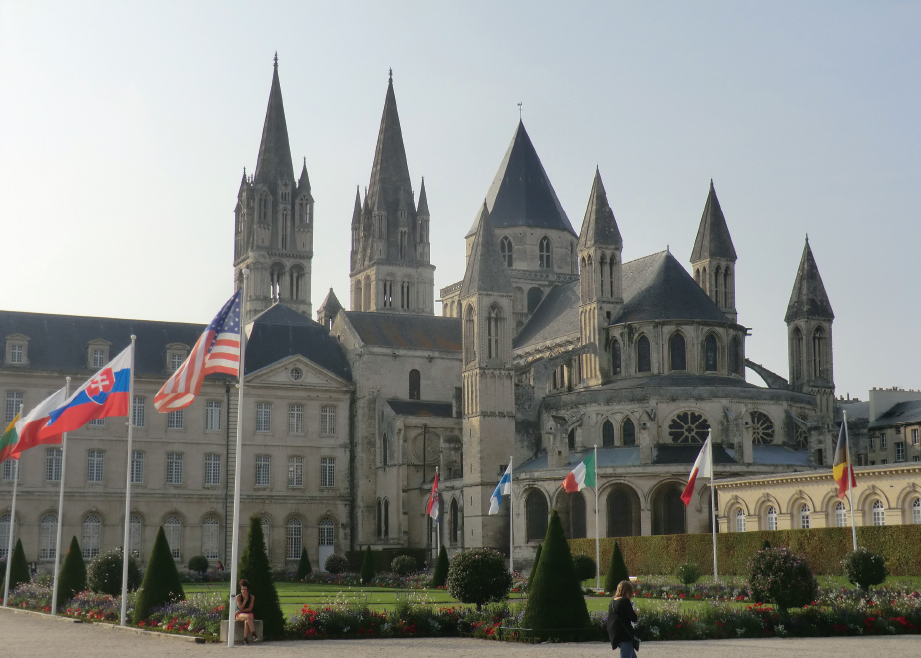
The Abbaye aux Hommes. (Peter Hoskins)
Point 18: Construction of the castle of Caen (GPS 49.185317, -0.361055), which resisted the army of Edward III in 1346, started in 1060. Extensive parts of the castle remain, including the parish church of St George which also dates from the eleventh century. An earlier church, long since abandoned for religious purposes and used in the nineteenth century as an arsenal, also survives, backing on to the walls of the citadel.
Point 19: The church of St Michel de Vaucelles, rue de l’Eglise-de-Vaucelles (GPS 49.174085, -0.355724), has a bell-tower surviving from the twelfth century. The remainder of the church dates from latter centuries. Vaucelles was outside the town in the fourteenth century and in theory was a distinct administrative entity but in reality was a suburb of the town.

The castle of Caen. (Peter Hoskins)

The Abbaye aux Dames. (Peter Hoskins)
Point 20: Also outside the town in 1346, and within the parish of Vaucelles, was the eleventh- and twelfth-century Chapelle de la Paix. A part of the chapel remains in rue du Marais (GPS 49.175470, -0.343008).
Point 21: The Abbaye aux Dames, Place Reine Matildhe (GPS 49.186801, -0.353372), was fortified in 1346 but stood outside and was separated from the town walls. It was originally consecrated in 1066. Free guided visits are available throughout most of the year.
Points 22 and 23: There are several houses reputed to be from the fourteenth century according to the French Ministry of Culture, but dated to later centuries by local sign boards. Two examples are the Hôtel du Quatrans, 25 rue de Geôle (GPS 49.184794, -0.362524), and 54 rue St Pierre (GPS 49.183399, -0.363283).

Fourteenth-century houses in Rue St Pierre. (Peter Hoskins)
The church of St Pierre in Caen. (Peter Hoskins)
Point 24: The church of St Pierre in Place St Pierre (GPS 49.183883, -0.360773), the construction of which started in the early fourteenth century, stood just inside the walls of the city.
Point 25: Built between the thirteenth and sixteenth centuries, the church of St Jean in Rue St Jean (GPS 49.180430, -0.358409) was at the heart of the undefended Île St-Jean.
Point 26: The church of St Etienne le Vieux, Rue Arcisse de Caumont (GPS 49.181127, -0.368891) was founded in the tenth century. It was repaired after the ravages of 1346 and from cannon fire from the tower of the Abbaye aux Hommes during Henry V’s siege in 1417, but succumbed to damage in 1944 during the Battle of Normandy. The ruins that remain comprise elements from the thirteenth and fourteenth centuries and later.

The ruins of the church of St Etienne le Vieux. (Peter Hoskins)
Point 27: The church of Notre Dame de Froide Rue in Rue St Pierre (GPS 49.182905, -0.364624) was within the walls of the fortified part of Caen. It dates in part from the thirteenth century.
Point 28: The church of St Nicholas in Rue St Nicholas (GPS 49.183879, -0.375664) was founded in 1083, shortly after the foundation of the nearby Abbaye aux Hommes.
Point 29: Just outside the defences of the town and the castle stands the thirteenth-century former collegiate church of St Sépulcre, founded in 1219 for ten canons, near 82 Avenue de la Libération (GPS 49.186786, -0.359543).
Point 30: Remains of the town walls can be seen in Les Fossés St Julien, close to the junction with the Rue Pémagnie (GPS 49.184314, -0.369250).

Vestiges of the town ramparts in Les Fossés St Julien. (Peter Hoskins)
St-Sauveur-le-Vicomte. There are substantial remains of the curtain walls and keep of the castle, the ancestral home of Godefroy d’Harcourt, in Rue Barbey d’Aurevilly (GPS 49.386014, -1.528543).
Maps
Maps at 1:25,000 and 1:100,000 scales Published by the Institut National de l’Information Géographique et Forestière (IGN) www.ign.fr |
||
Cartes de Randonnée – 1:25,000 |
||
1310OT Cherbourg, Pointe de Barfleur |
1313E St-Lô |
1513O Aunay-sur-Odon |
1311OT Valognes, Ste-Mère-Eglise, Utah Beach |
1413O Torigni-sur-Vire |
1512OT Bayeux |
1312E Carentan |
1413E Caumont-l’Eventé |
1612OT Caen, Ouistreham (also Tour 2) |
TOP 100 – 1:100,000 |
||
TOP 100106 Caen/Cherbourg-Octeville |
||
How to Get There and Back by Public Transport
Caen-Carpiquet and Paris airports are convenient for this tour. Caen-Carpiquet has a shuttle service to the city centre. All the Paris airports are well connected to the city centre for onward travel by rail. Ferries run from Portsmouth to Cherbourg and Caen-Ouistreham and from Poole to Cherbourg. Cherbourg ferry port is close to the town centre. Ouistreham is 18km from Caen city centre; there is a shuttle bus service but this does not operate during the evenings (www.twisto.fr). Railway services for this tour are provided by SNCF Basse-Normandie Region. The closest railway station to St-Vaast-la-Hougue is Valognes; there is a bus service provided by Transports Manche (www.transports.manche.fr) with their Express service Line 13 between Valognes and Barfleur via St-Vaast-la-Hougue. Line 12 operates between Caen and Barfleur. Bicycles cannot be taken on these coaches; Valognes and Cherbourg are 20km and 28km respectively from St-Vaast-la-Hougue. Caen has a main-line railway station. Intermediate points on the tour with railway stations are Pont-Hébert, St-Lô and Carentan.
Where to Stay and Where to Eat
There are numerous places where refreshments can be found during the early part of the tour, although these become less frequent beyond St-Lô. Refreshments can be found in Barfleur, La Pernelle, Quettehou, St-Vaast-la-Hougue, Valognes, Montebourg, Ste-Mère-Eglise, Carentan, Pont-Hébert, St-Lô, Fontenay-le-Pesnel, Cheux, Verson and Caen. Surprisingly for a town with a population of more than 20,000, finding somewhere open in St-Lô on a Sunday morning very difficult. I was told later that the town was considered a ‘dead’ town by local French residents.
The local websites below give information on accommodation and refreshment for this tour: