IN CONTEXT
Geology
1669 Nicolas Steno publishes the principles of stratigraphy that will guide geologists’ understanding of rock strata.
1760s In Germany, geologists Johann Lehmann and Georg Füchsel make some of the first measured sections and maps of geological strata.
1813 English geologist Robert Bakewell makes the first geognostic map of rock types in England and Wales.
1835 The Geological Survey of Great Britain is founded to carry out systematic geological mapping of the country.
1878 The first International Geological Congress is held in Paris. Congresses have been held every three to five years ever since.
In the mid to late 18th century, the need to find fuels and ores to power Europe’s Industrial Revolution spurred a growing interest in producing geological maps. German mineralogists Johann Lehmann and Georg Füchsel produced detailed aerial views showing topography and rock strata. Many subsequent geological maps did little more than show the surface distribution of different rock types – until the pioneering work of Georges Cuvier and Alexandre Brongniart in France, who mapped the geology of the Paris Basin in 1811, and William Smith in Britain.
"Organized fossils are to the naturalist as coins to the antiquary."
William Smith
First national map
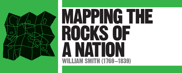
Smith was a self-taught engineer and surveyor who produced the first nationwide geological map in 1815, showing England, Wales, and part of Scotland. By amassing samples from mines, quarries, cliffs, canals, and road and railway cuttings, Smith established the succession of rock strata, using Steno’s principles of stratigraphy and identifying each stratum by its characteristic fossils. He also drew vertical sections of the succession of strata and the geological structures into which they had been formed by earth movements.
Over the next few decades, the first national geological surveys were established, and they set about methodically mapping their entire countries. The correlation of strata of similar age across national boundaries was achieved by international agreement in the latter part of the 19th century.
See also: Nicolas Steno • James Hutton • Mary Anning • Louis Agassiz