Hiking in the Pyrenees
The Pyrenees aren’t Europe’s highest mountains, but they are certainly among its most formidable. The craggy behemoths stretch from the Bay of Biscay to the Mediterranean like a giant wall, with barely a low-level pass to break them. Spectacular for many reasons, not least the abundance of powerful waterfalls, they act like a siren’s call for hikers.

The GR11
Anyone who hikes in the Spanish Pyrenees will get on to first-name terms with Gran Recorrido 11 (GR11), the long-distance footpath that runs along the range’s entire Spanish flank from Hondarribia on the Bay of Biscay to Cap de Creus on the Costa Brava. Approximately 820km long and with a cumulative elevation gain equivalent to five Mt Everests, it takes around 45 days even without rest days. Many people elect to walk it in a series of shorter hops. Well-frequented sections run along Aragón’s Valle de Ordesa and past Catalonia’s Estany de Sant Maurici.
Hiking Bases
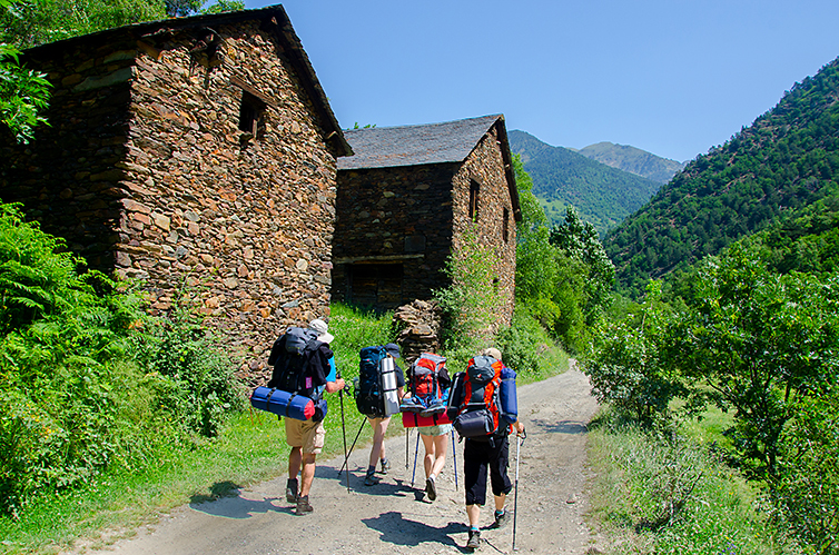
You don’t have to embark on a marathon march to enjoy the best of the Spanish Pyrenees. There are countless superb day walks and these can often be strung together into routes of several days with the aid of village accommodation, mountain refugios (refuges), or a tent. The two national parks, Ordesa y Monte Perdido in Aragón and Aigüestortes i Estany de Sant Maurici in Catalonia, have particularly high concentrations of spectacular trails. Wonderful full-day outings in the former park include the high-level Faja de Pelay path (to an exuberant waterfall) and the Balcón de Pineta route to a superb lookout point. Fit walkers can cross the Aigüestortes park in one day along the Sant Maurici–Boí traverse, a 22km sequence of lakes, waterfalls, verdant valleys, rocky peaks and inspiring vistas. You’ll need several days to complete the 55km Carros de Foc (www.carrosdefoc.com) circuit that links all nine of the park’s refugios.
Other fine hiking bases with good accommodation and easy access to good trail networks include Hecho and Benasque in Aragón, and Olot in Catalonia, which has good, family-friendly walking terrain.

Practicalities
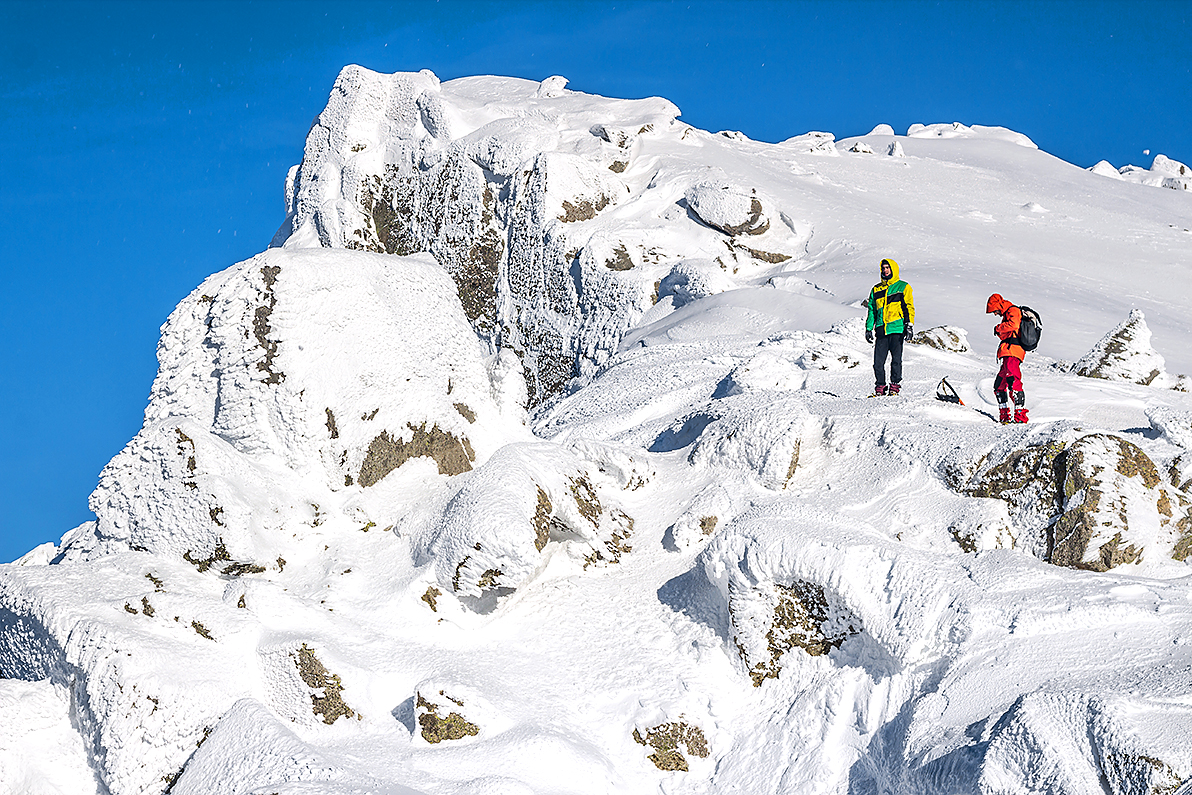
June to October are generally the best months for hiking. There may be snow on passes and high valleys until mid-June or from October, and the weather is never predictable, so walkers should always be prepared for extreme conditions. However, since this is Europe (rather than Alaska), you’re never too far from a mountain village with basic shops, bars and accommodation.
Up in the mountains are a variety of refugios (refugis in Catalan) – some staffed and serving meals, others providing shelter only. At holiday times staffed refugios often fill up, so book ahead. For refugio bookings in Aragón, visit www.alberguesyrefugiosdearagon.com. For refugis in Catalonia, see the Federació d’Entitats Excursionistes da Catalunya (FEEC; www.feec.cat) and the Centre Excursionista de Catalunya (CEC; http://cec.cat).
Editorial Alpina (www.editorialalpina.com) and Prames (www.prames.com) produce excellent maps for walkers. The definitive English-language guide to the GR11 is the excellent The GR11 Trail by Brian Johnson (2014).
